Slovenia by region
There are several ways to divide Slovenia into regions. We use eight.

A small country with many landscapes.
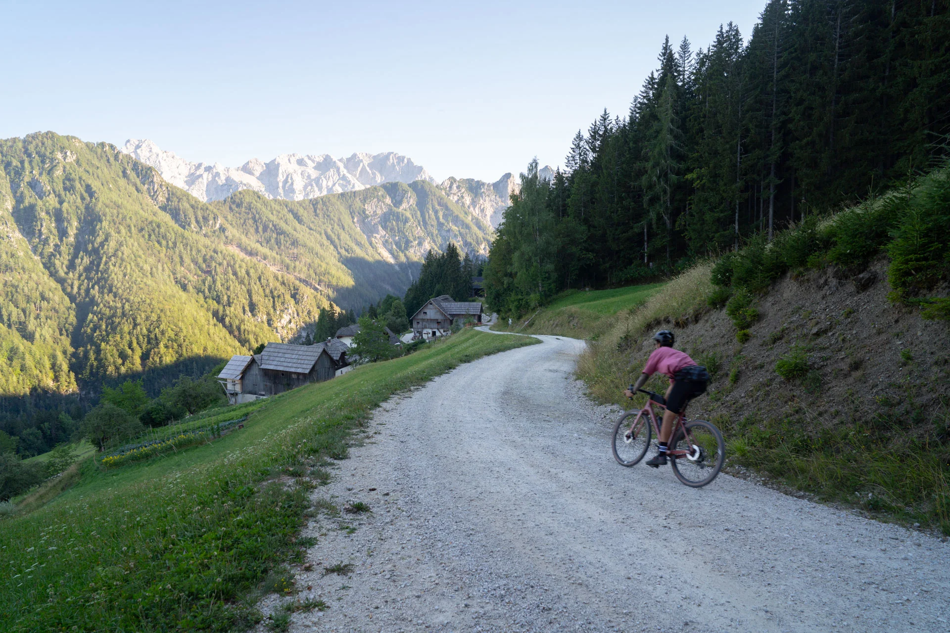
In the photo: Solčava Panoramic Road
Route No. 182, Styria
From village to village on quiet roads and gravel tracks, almost always a little uphill or a little downhill. The landscape, the food and the dialect change faster than you'd expect.
All four are only a few hours' drive apart.
Every region has its own character. Pick one to see what it's known for and which routes are waiting for you there.
Borders: Geodetska uprava Republike Slovenije (Surveying and Mapping Authority of the Republic of Slovenia), Register prostorskih enot (statistical regions), as of 11 October 2026, CC BY 4.0. We have grouped the statistical regions into our own regions and simplified the borders.
There are several ways to divide Slovenia into regions. We use eight.
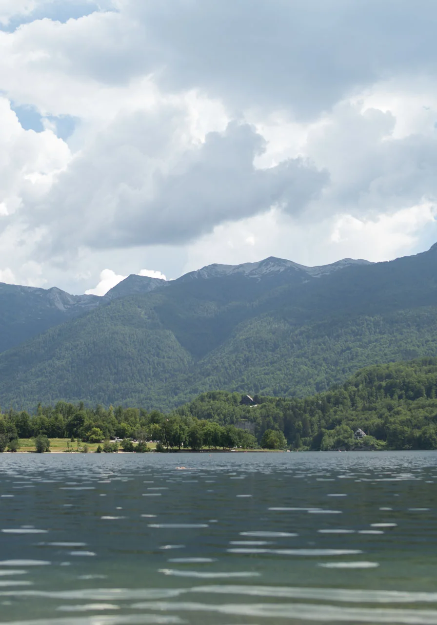
Upper Carniola (Gorenjska) is the Slovenia you see on postcards, but by bike you get to know it best away from the main roads. Bled and Bohinj draw the most visitors, yet there's far more here than two lakes: fields and small villages, with the Julian Alps, the Karawanks and the Kamnik–Savinja Alps rising above them. Most of the riding is on the road, from quiet valley roads to climbs like the Vršič Pass, but there's also plenty of gravel on the Pokljuka and Jelovica plateaus, and steep forest trails for mountain bikes. There's something for everyone.
All routes in this region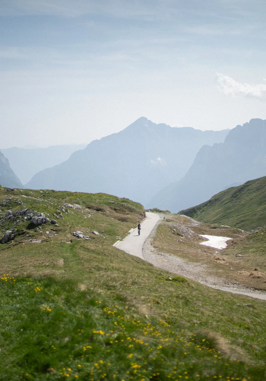
The Slovenian Littoral (Primorska) runs from high mountains all the way to the sea. In the north, in the Soča Valley, the roads follow the river and climb out of the valley to high passes, including the Mangart Saddle, reached by the highest road in Slovenia. Further south, Goriška Brda, the Vipava Valley and the Karst open up, with a Mediterranean climate and Italian influences. The season here starts early and ends late; only the bora wind can make the riding hard on the odd day. And in Slovenian Istria, the Parenzana takes you along the line of an old narrow-gauge railway.
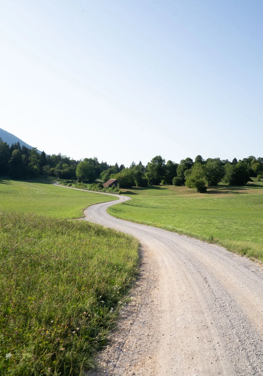
Inner Carniola (Notranjska) is a land of karst and great forests. Rivers vanish underground here, the fields flood after heavy rain, and Lake Cerknica is a lake for part of the year and a meadow for the rest. Long, quiet gravel roads run through the forests of Javorniki and Snežnik and across the Bloke Plateau, which makes Inner Carniola one of the most beautiful regions for gravel riding. The paved roads are quiet too, with little traffic.
All routes in this region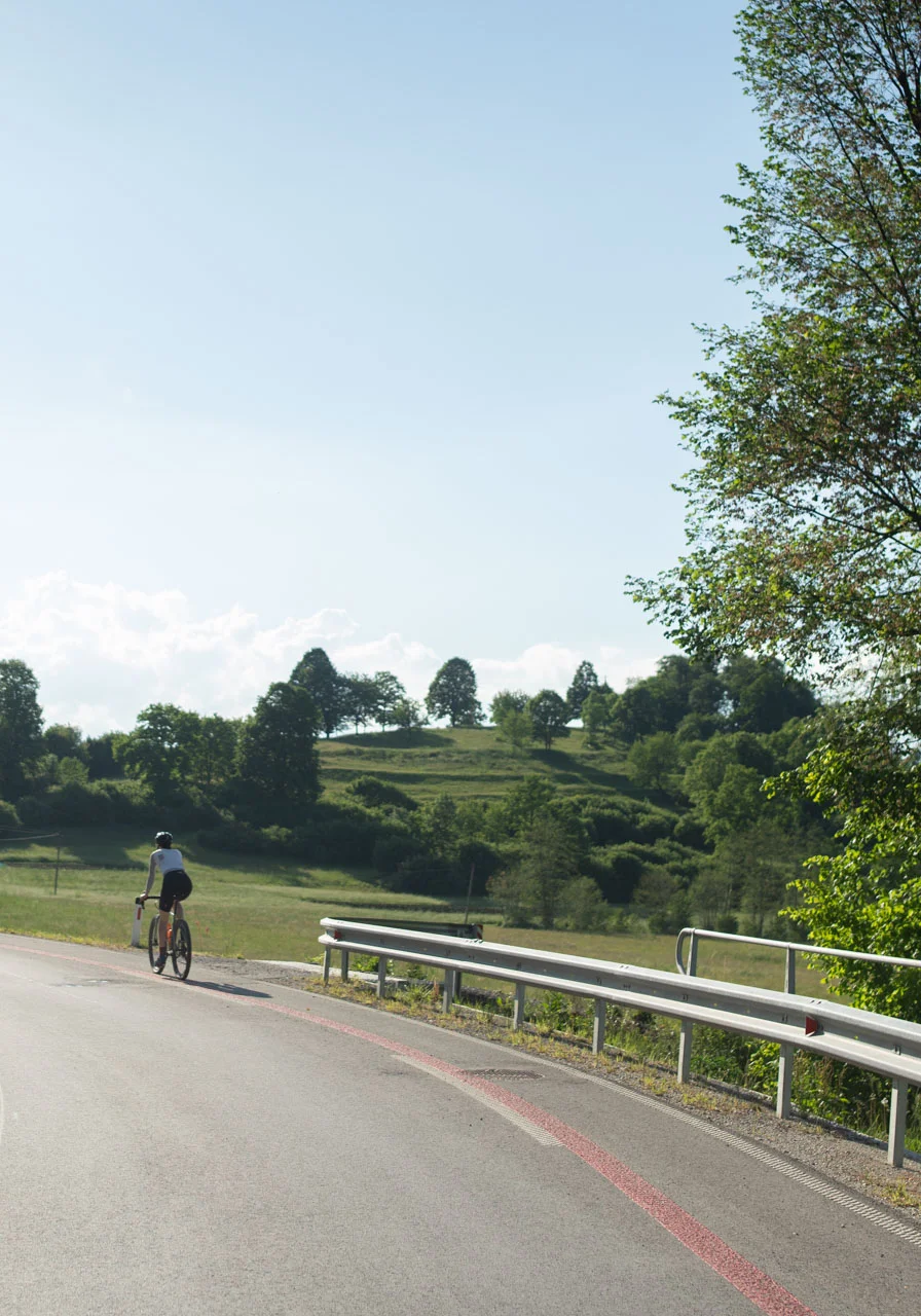
Central Slovenia (Osrednjeslovenska) sits right in the middle of the country, which makes it a great base for riding in any direction. To the north it rises towards the Kamnik–Savinja Alps, to the south lies the Ljubljana Marsh and to the west the Polhov Gradec Hills, with plenty of gravel roads through forests and fields in between, ideal for gravel riding. A longer ride soon takes you into Upper, Lower or Inner Carniola. And after the ride there's Ljubljana, with everything from food stalls by the market to top-class restaurants.
All routes in this region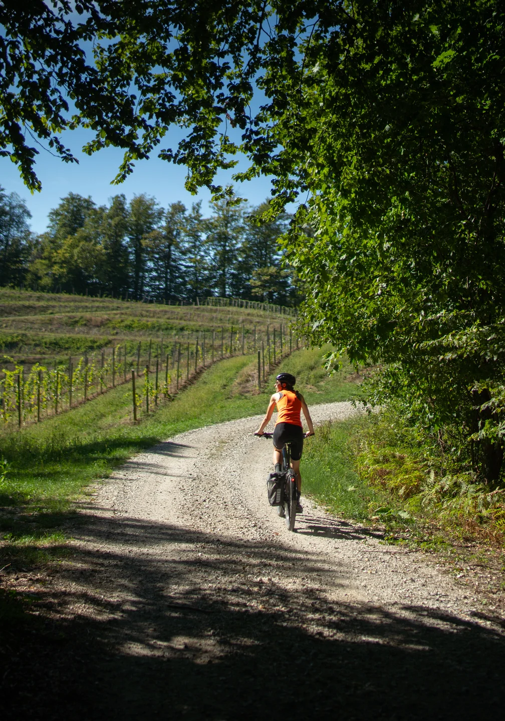
For cycling, Slovenian Styria (Štajerska) is one of the most varied regions in the country. Flat fields with quiet roads stretch along the Drava and the Savinja, the east and south are full of wine hills with short but steep climbs, and Pohorje offers long forest climbs, gravel roads and mountain bike trails. In the west the land rises into the Alps. Wherever you ride, you're never far from a tourist farm or a wine tavern where you can stop for a bite to eat.
Slovenian Carinthia (Koroška) is wooded, hilly country on the Austrian border, where the Drava, Meža and Mislinja valleys meet. The Drava Cycle Route comes in from Austria along the river, while the hills above the valleys have long climbs and quiet forest roads. Beneath Mount Peca you can even ride a mountain bike through the tunnels of a former mine.
We're still working on the routes in this region.
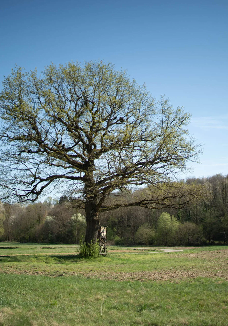
The flattest region in Slovenia: wide fields, riverside woods along the Mura and storks nesting on the chimneys. The hills of Goričko rise in the north, the Lendava wine hills in the south. Climbs are few, quiet roads and cycle paths plentiful, and some of them cross the border into Austria and Hungary. Prekmurje feels made for e-bikes and long, easy-going days.
All routes in this regionHills along the River Krka, vineyards of cviček (the local light red wine) and lots of small villages. Lower Carniola (Dolenjska) is a quiet region with little traffic, and its roads wind between vineyard cottages, castles and monasteries. The forests of Gorjanci and Kočevski Rog are full of gravel roads. In the south, along the River Kolpa, lies Bela krajina, where in summer you can cool off with a swim after your ride.
We're still working on the routes in this region.
The main season runs from April to October. Spring and autumn are best for the lowlands and the wine hills, summer for the high roads in the Alps.
March – May
The lowlands in the east and the Slovenian Littoral are the first to turn green. The roads over the Alpine passes are often closed until May, and there's still snow high up in the mountains.
June – August
Time for the Alps, when the roads up to Mangart and over Vršič are open. When it's hot, it's more pleasant in the forest, in the mountains or by lakes and rivers, where you can stop for a swim.
September – November
For many, the best time of year on the bike. The days are pleasantly fresh and calm, the grape harvest is on in the wine hills, there's less traffic on the roads, and the light is soft.
December – February
The days are short, the lowlands cold and often foggy, the mountains under snow. The best days for riding are the sunny ones in the Slovenian Littoral.
Main roads are busy at weekends and in summer; local roads are narrow and mostly quiet.
In the forest, cycling is allowed on forest roads and specially marked trails. Logging tracks and mountain paths aren't meant for bikes, except where they're signposted for them.
A helmet is compulsory for cyclists under 18. At night and in poor visibility you need front and rear lights, and we recommend them in tunnels too.
You can take your bike, for an extra fee, on Slovenian Railways (SŽ) trains that have space for bikes. In summer these places fill up fast. Routes that start at a station are labelled ‘Public transport’.
Tap water is safe to drink almost everywhere. Many places serve home cooking, but plenty of inns (gostilna) close one day a week, and tourist farms are often open only at weekends. Inns, farms and snack bars are all marked on the map of every route.
All our routes can be ridden on an e-bike too.
Every route is field-verified, photographed, and ready to ride.
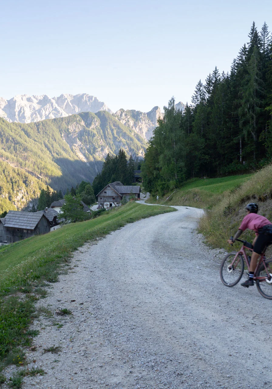
 Route type: MTB, Gravel, Trekking
 Distance: 30 km
 Elevation gain: 870 mRoute type: Road, TrekkingDistance: 22 kmElevation gain: 981 mRoute type: TrekkingDistance: 68 kmElevation gain: 880 mRoute type: Gravel, TrekkingDistance: 55 kmElevation gain: 900 mRoute type: Gravel, TrekkingDistance: 28 kmElevation gain: 300 m
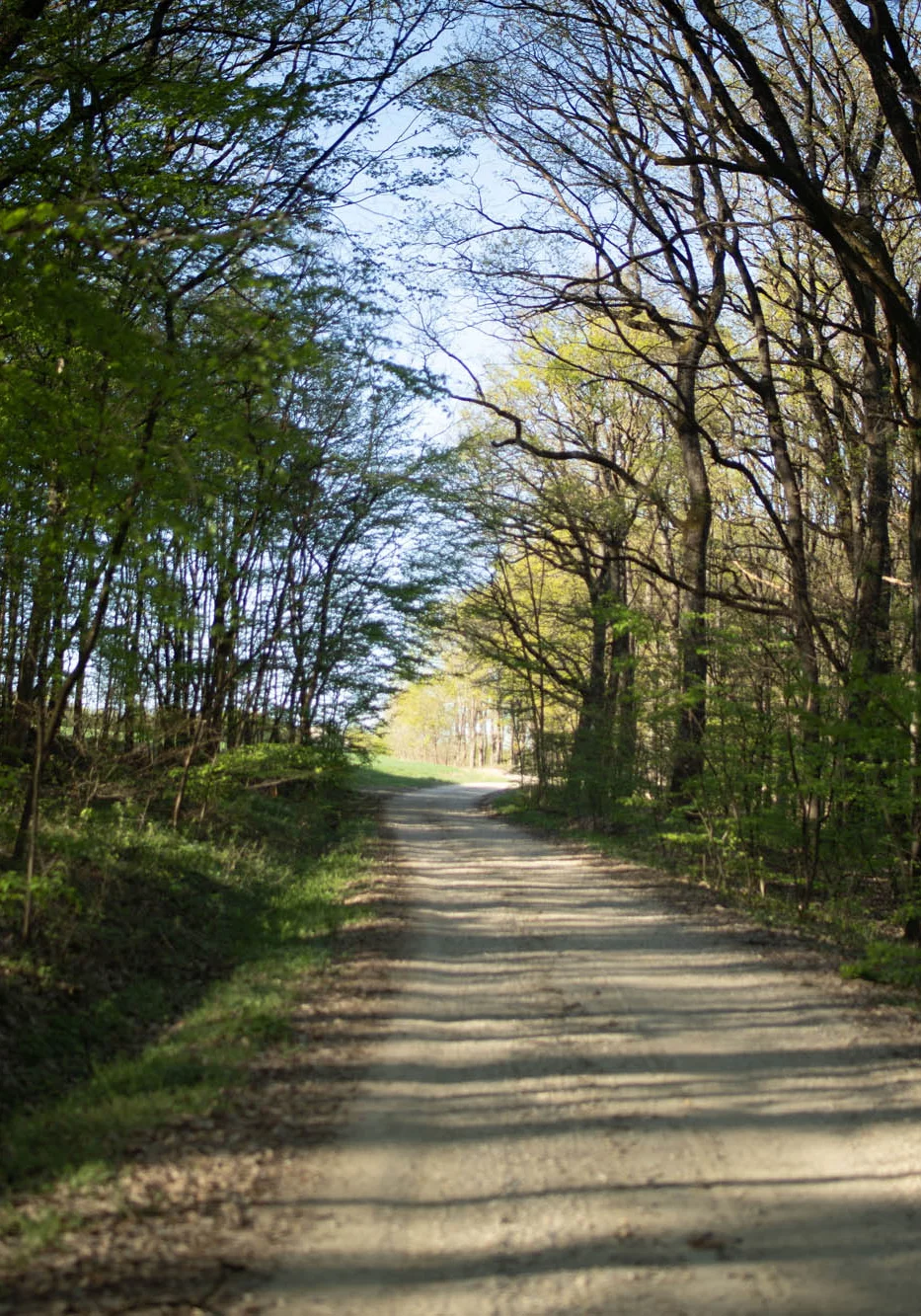 Route type: Gravel, TrekkingDistance: 82 kmElevation gain: 685 m
We only publish routes we'd recommend to our friends. And we write down everything we'd tell them before they set off.
Before we publish a route, we ride it, photograph it and write down what you'll find along the way.
We'd rather take a quiet local road, a good gravel track or a cycle path than the main road, even if it means a small detour.
For every route we show the elevation profile, which stretches are asphalt and which are gravel, and the months when it's at its best. On the map we mark inns, rest stops, sights and railway stations.
A GPX file for your device, plus links to Komoot and Strava. Free.
Road closures, new links, inns that have shut: as soon as we hear, we update the description and the map.

This is how all our routes look. For example, No. 184 Ptuj – Haloze.
From April to October. From June to September all our routes are suitable; in March and November mainly the lowland routes in Styria, around Ljubljana and in the Slovenian Littoral.
Very much so. All our routes can be ridden on an e-bike too. The flat land in Prekmurje and along the Drava is especially e-bike friendly, and in the mountains an e-bike takes the edge off the long climbs.
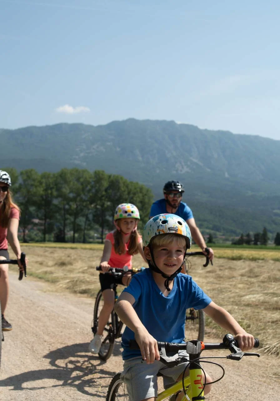
The ones in the Family category. They're mostly short and, as far as possible, away from traffic.
Yes, for an extra fee, on Slovenian Railways (SŽ) trains that have space for bikes. Routes you can start at a railway station are labelled ‘Public transport’ and have their own version for Komoot and Strava.
Yes. You can download every route as a GPX file for free, or open it in Komoot or Strava.
Download the GPX file from the route page and import it into an app on your phone (such as BikeGPX, Komoot or Strava), into your watch's app (Garmin Connect, Suunto) or onto your bike computer (Garmin Edge, Wahoo, Hammerhead). Then choose the route on your device and follow it, even without mobile signal. The file also contains points along the way, such as inns and sights, which bike computers show next to the route. Every route page has step-by-step instructions under ‘How to use .GPX?’