
Home › All routes › Mangart Saddle
Mangart Saddle
Cycling route · Slovenian Littoral · Trekking, Road
- Length
- 22 km
- Elevation gain
- 981 m
- Duration
- ~2 h
- Difficulty
- hard
- Region
- Slovenian Littoral
- Route type
- Trekking, Road
- Surface
- asphalt 22 km
- Suitable for
- E-bike, MTB, Gravel, Trekking, Road bike
One of the most scenic mountain routes in the Julian Alps winds through tunnels and hairpin bends all the way to an altitude of 2,055 metres. The route is challenging, but the effort is rewarded with breathtaking views of mountain peaks, valleys and the rugged Alpine landscape. A perfect choice for cyclists looking for a challenge and an unforgettable experience.
Points along the route
Mangart Waterfall
0 km
Mangart Waterfall
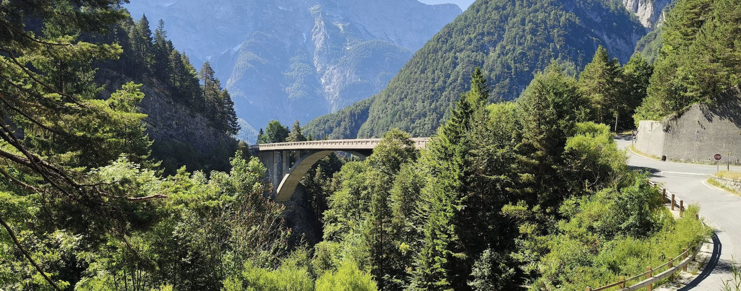
The waterfall is located approximately 16 kilometres from Bovec and makes an excellent starting point for the climb to Mangart Saddle. The route is challenging enough on its own, but if you're well prepared, it can easily be incorporated into a longer cycling adventure through the Upper Soča Valley.
Start of the climb
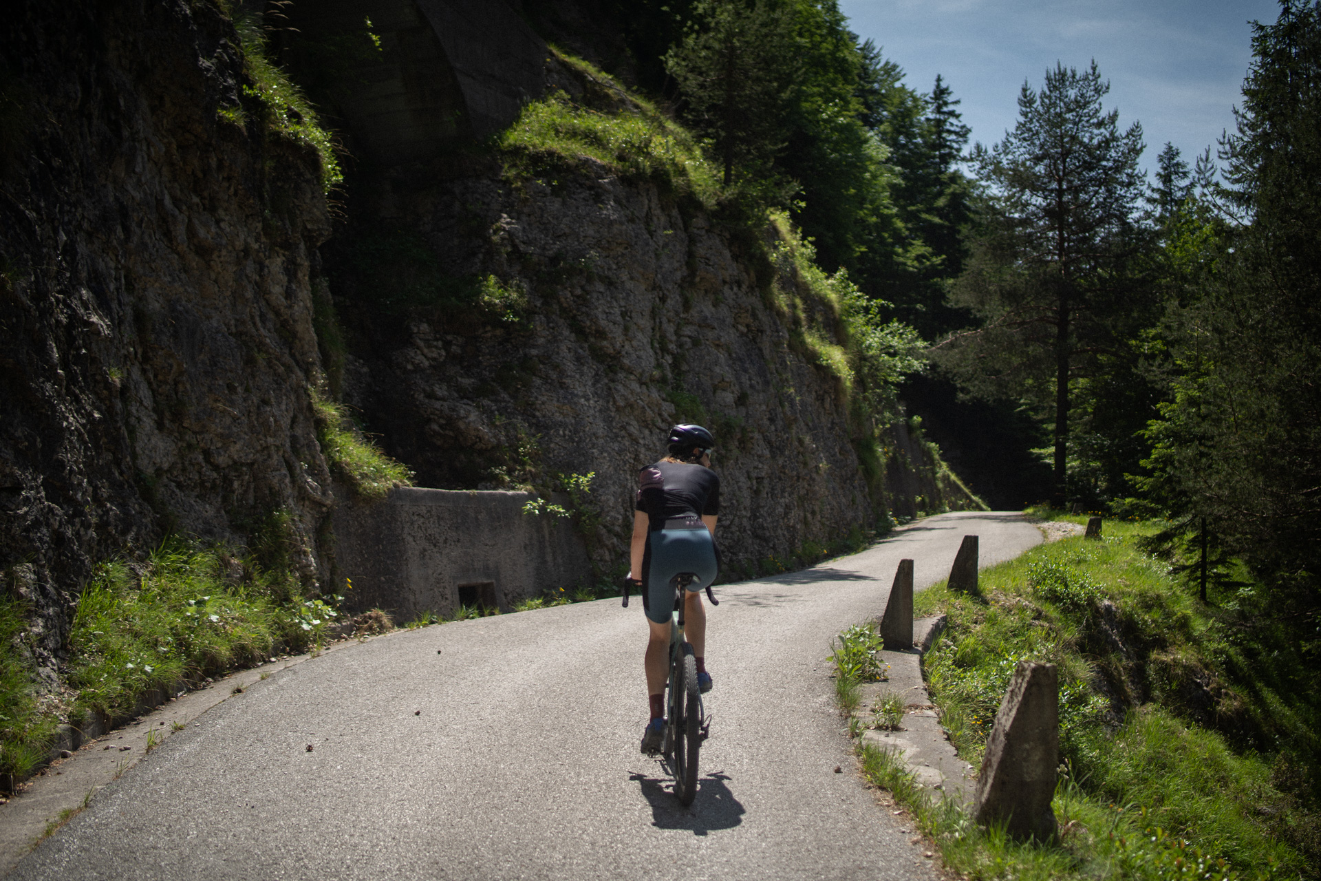
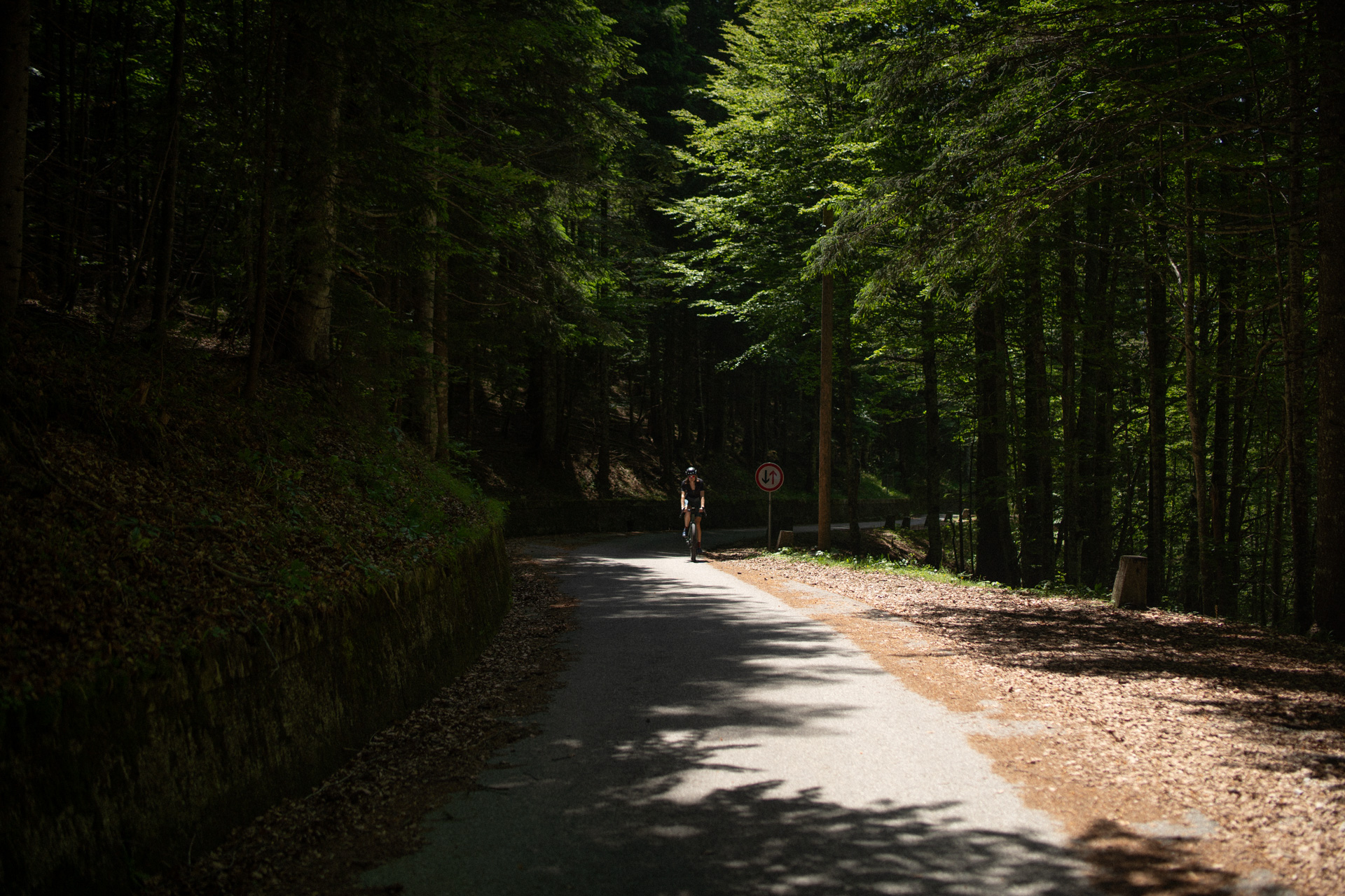
The climb follows a paved road that gains approximately 1,000 metres of elevation over 11 kilometres. Built in 1938 as a strategic connection, it is considered the highest road in Slovenia. The route takes you through a series of hairpin bends and five tunnels, so bike lights are highly recommended.
Mangart Saddle
11 km
Mangart Saddle
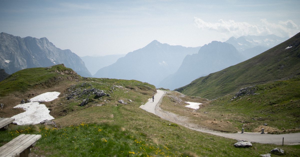
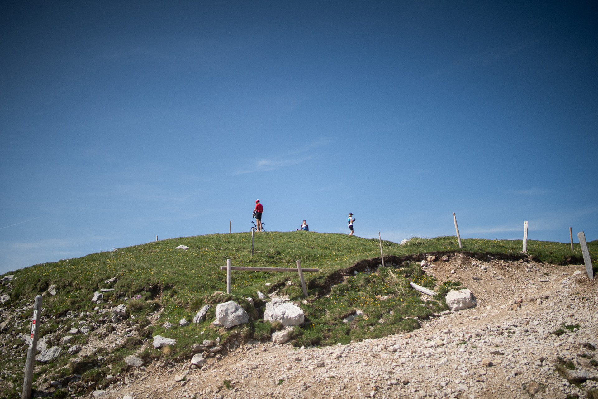
At an altitude of 2,055 metres, the summit opens up spectacular views of Mount Mangart, the Kanin mountain range, Mount Triglav, and the Koritnica and Resia valleys. On a clear day, the view stretches as far as Friuli in Italy. The descent follows the same route: long and demanding due to the narrow road and numerous hairpin bends, but immensely rewarding.
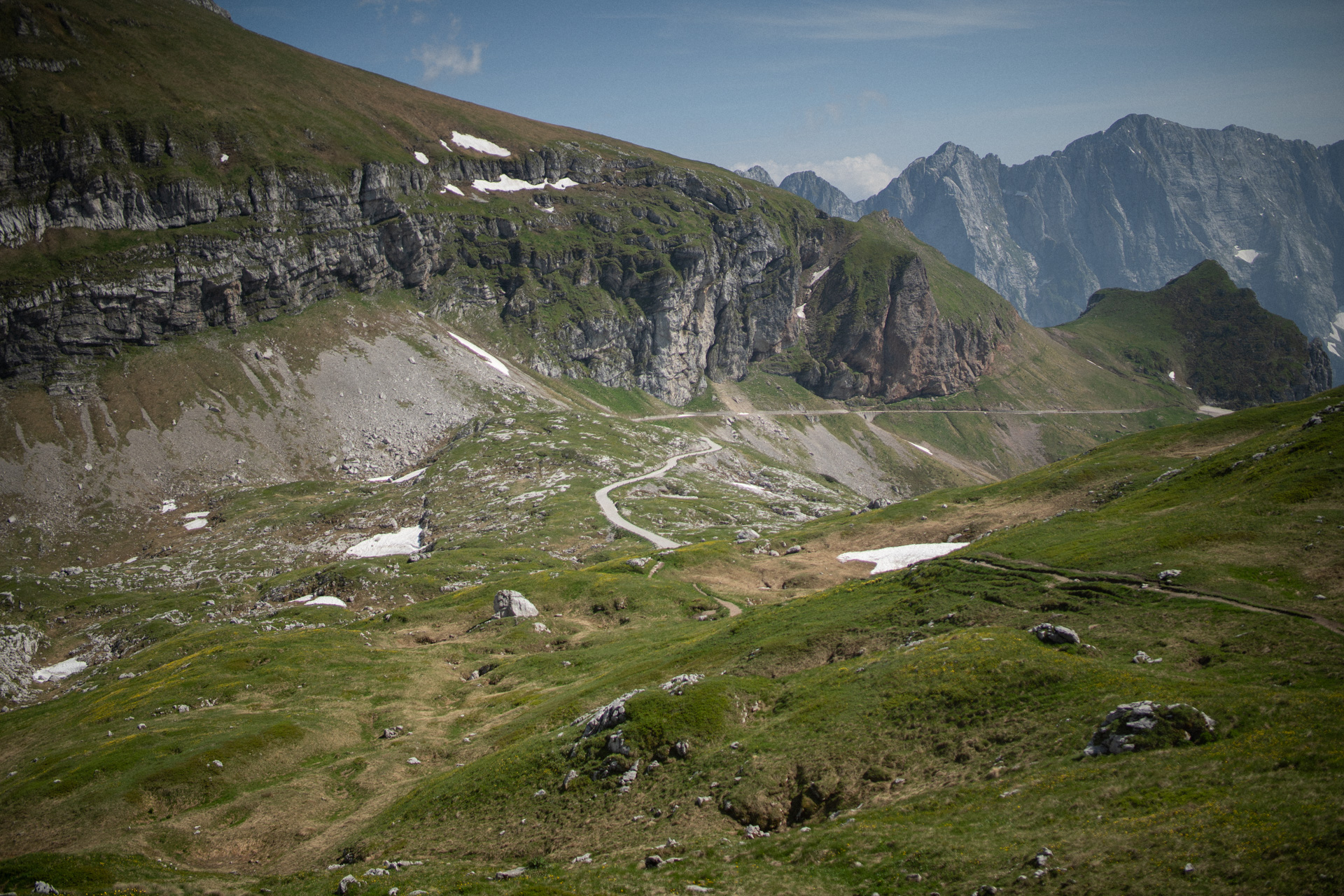
The route ends at Mangart Waterfall. You can extend your trip with a visit to Bovec or Lake Predil on the Italian side.