
Home › All routes › Solčava Panoramic Road
Solčava Panoramic Road
Cycling route · Styria · Gravel, Trekking, MTB
- Length
- 30 km
- Elevation gain
- 870 m
- Duration
- ~2,5 h
- Difficulty
- hard
- Region
- Styria
- Route type
- Gravel, Trekking, MTB
- Surface
- asphalt 19 km · gravel 11 km
- Suitable for
- E-bike, MTB, Gravel, Trekking
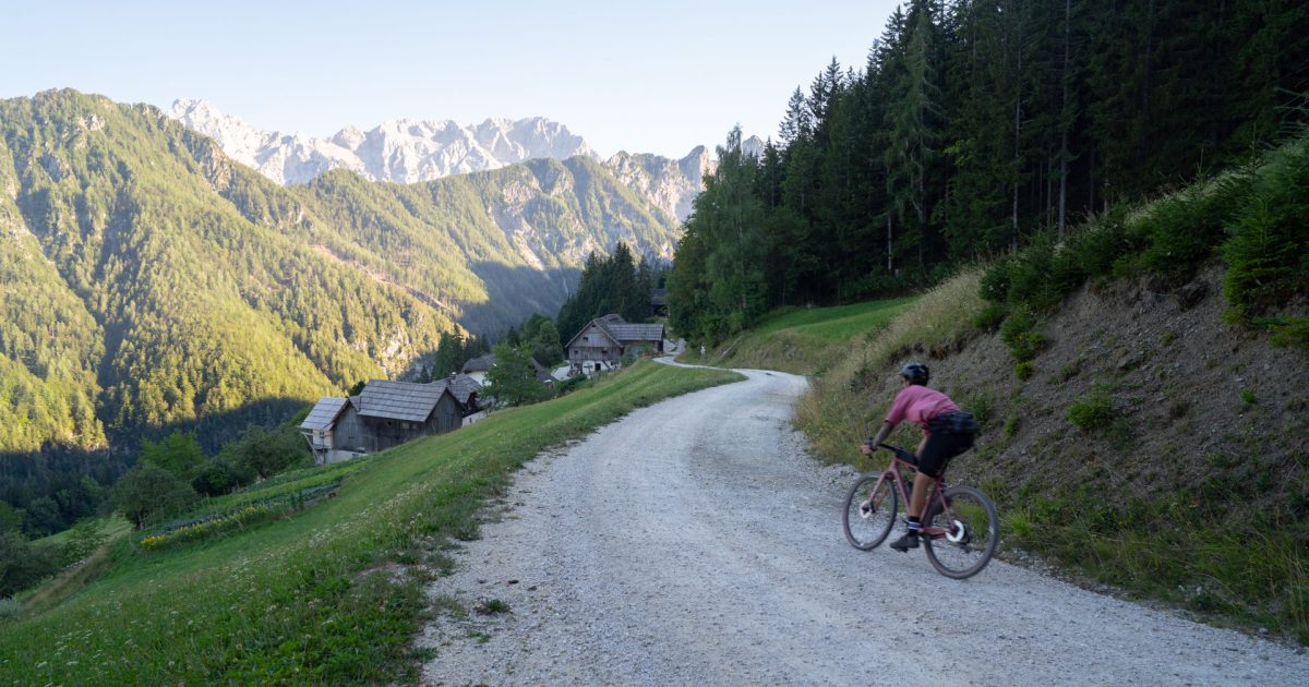
The Solčava Panoramic Road is one of Slovenia’s most scenic high-mountain cycling routes, following the edge of the Kamnik-Savinja Alps along the Austrian border. The route begins with a steep climb from Solčava towards Podolševa, where the landscape opens up to wide views of the peaks of the Kamnik-Savinja Alps and the glacial valleys below. From there, the route descends past the Acidic Water Spring and through Matkov kot towards the Logar Valley, before following the Savinja River through the narrow valley back to Solčava.
Points along the route
Solčava
0 km
Solčava
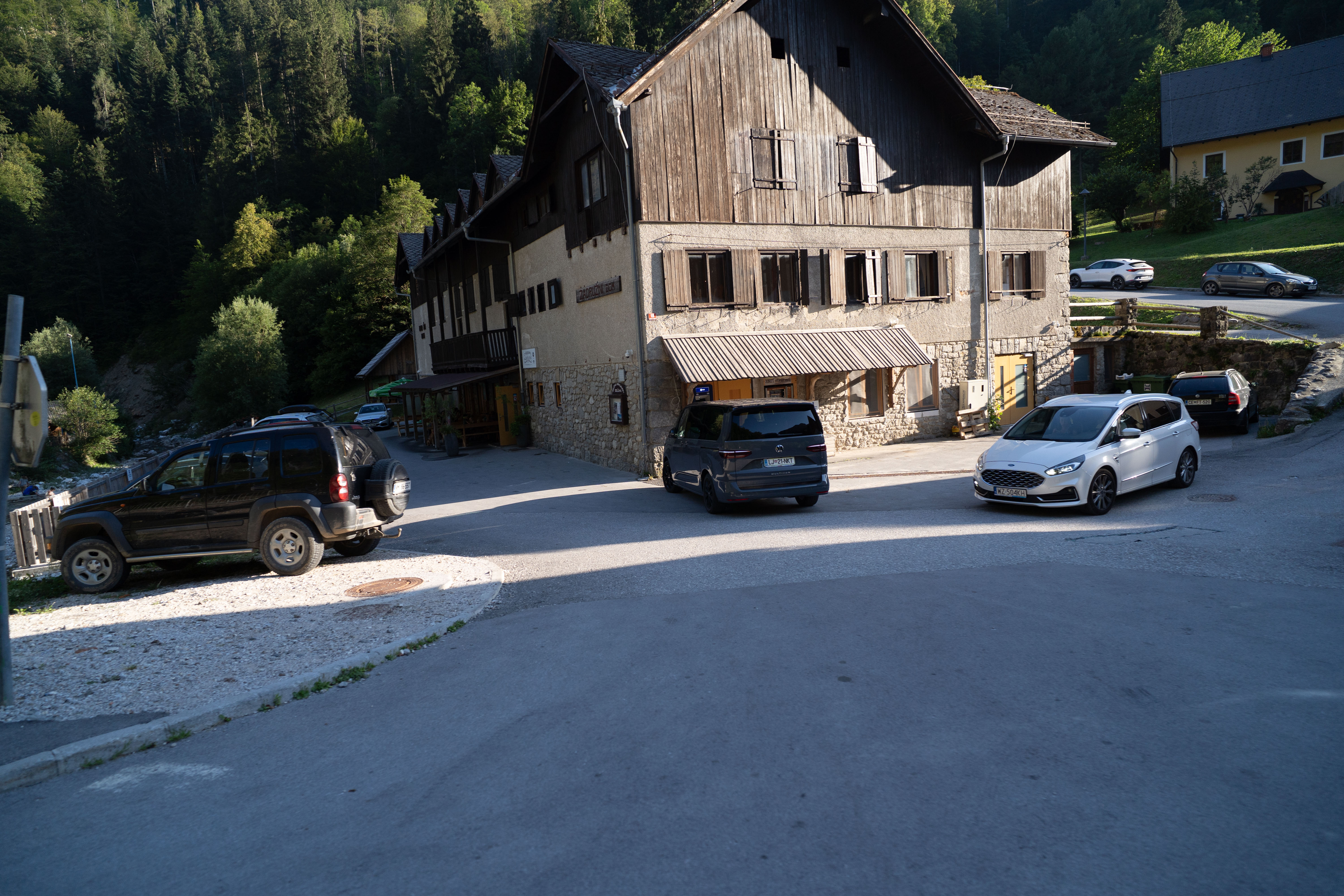
We begin the ride in Solčava, nestled in a narrow valley along the upper Savinja River. The road soon begins to climb towards Podolševa, where the first sustained ascent awaits.
Alpine View
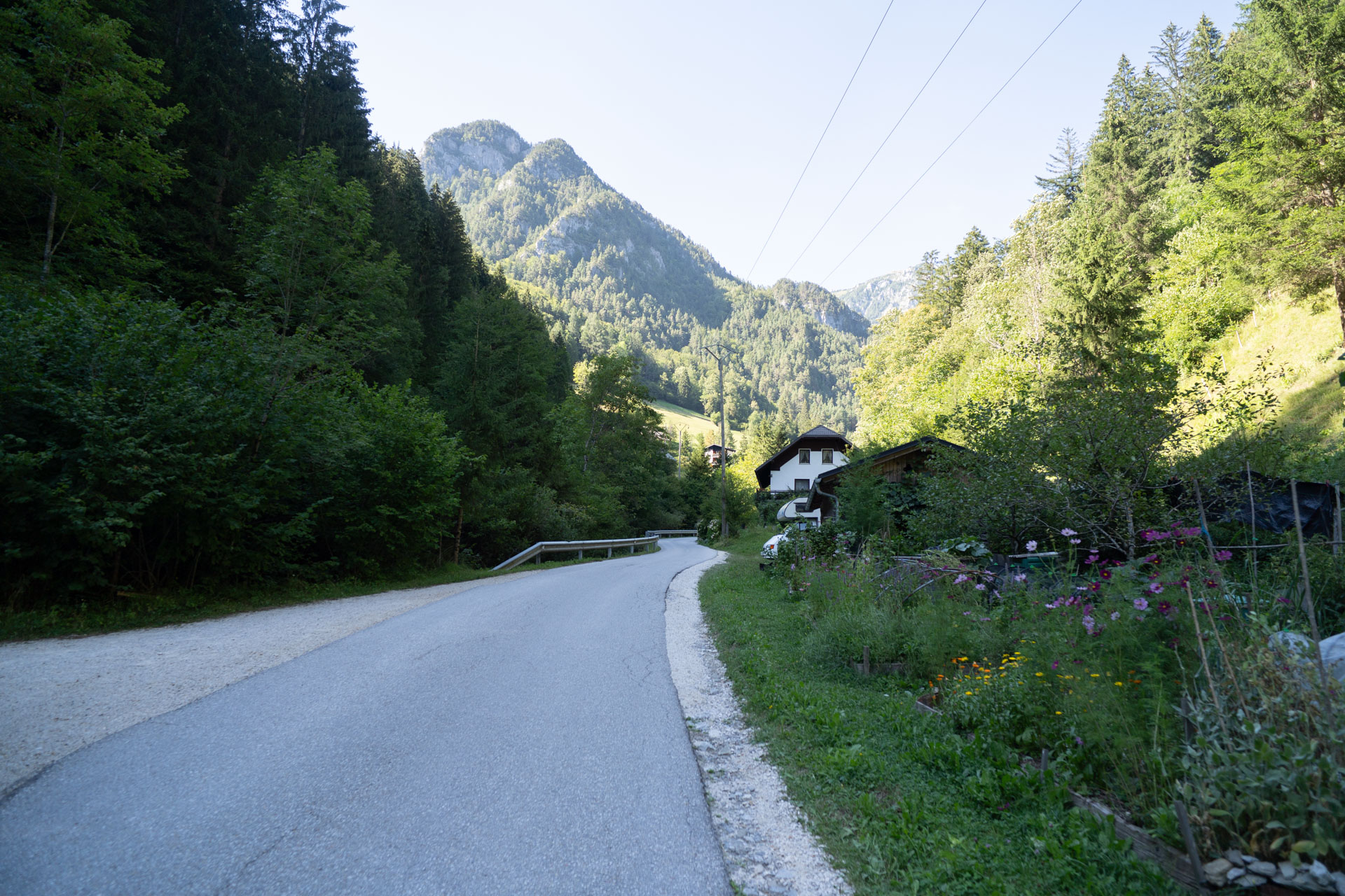
As the road climbs, the trees begin to give way, revealing the first wide views of the peaks of the Kamnik-Savinja Alps. This is also where the gravel section begins.
Podolševa
8 km
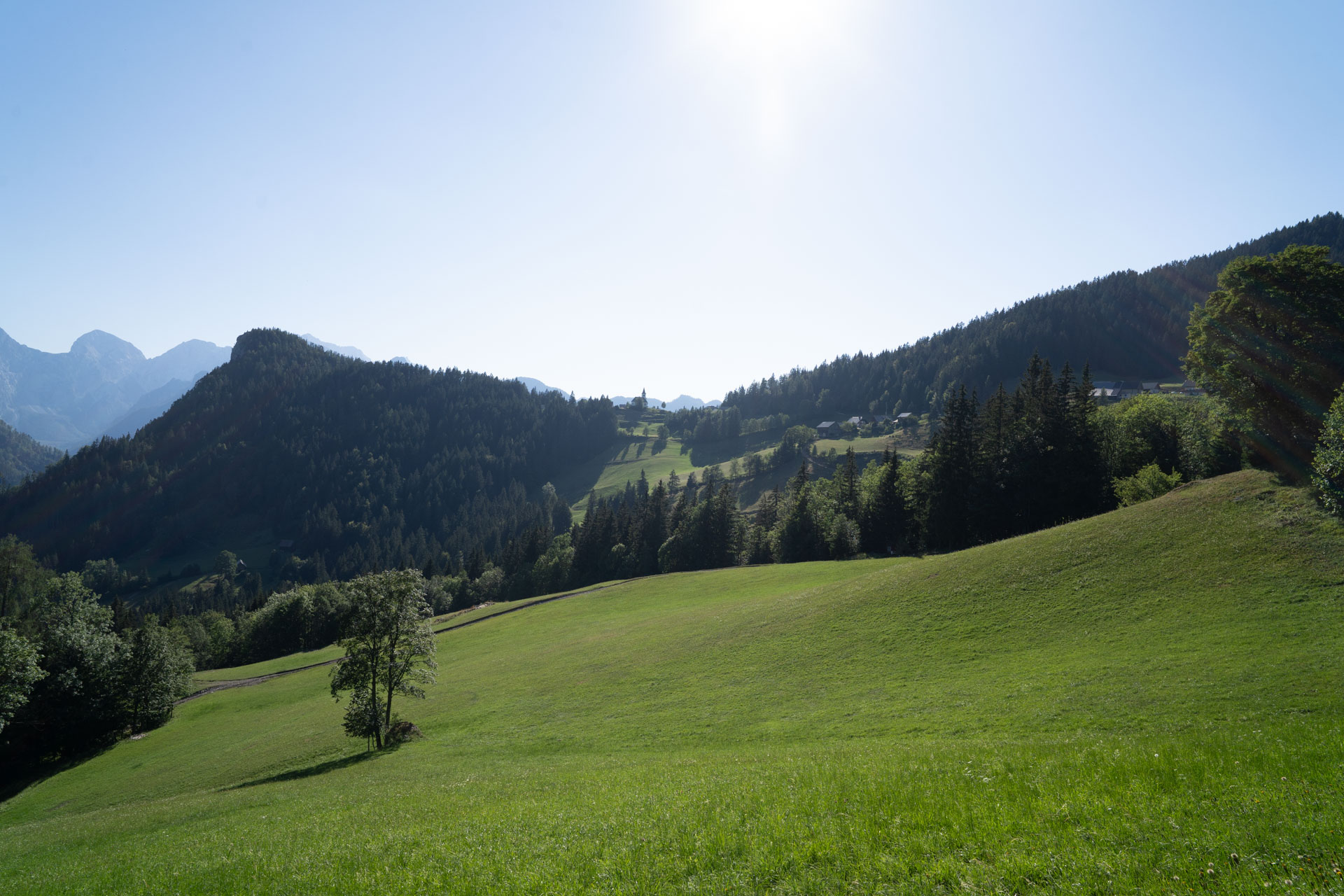
Podolševa
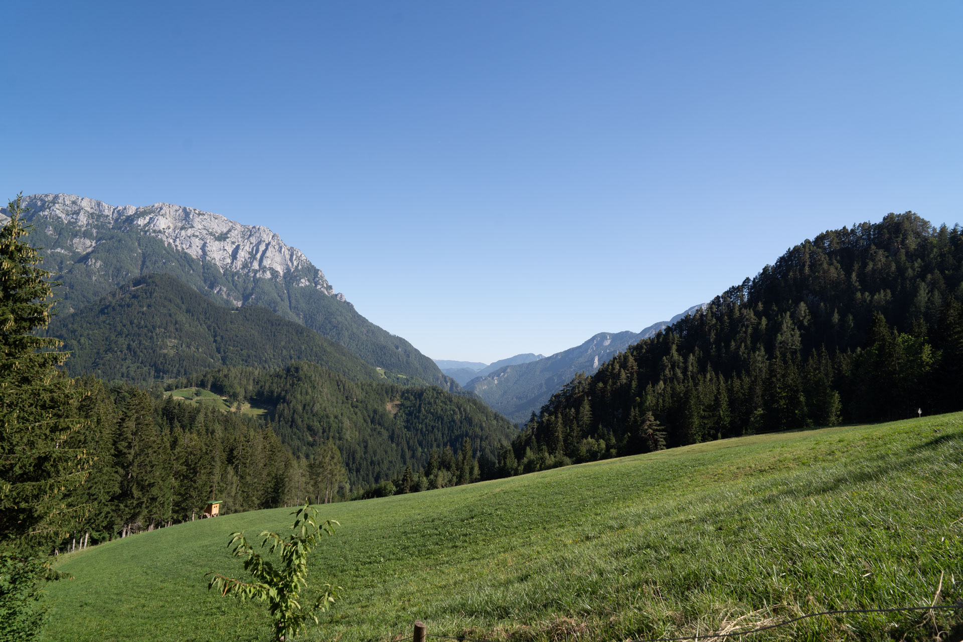
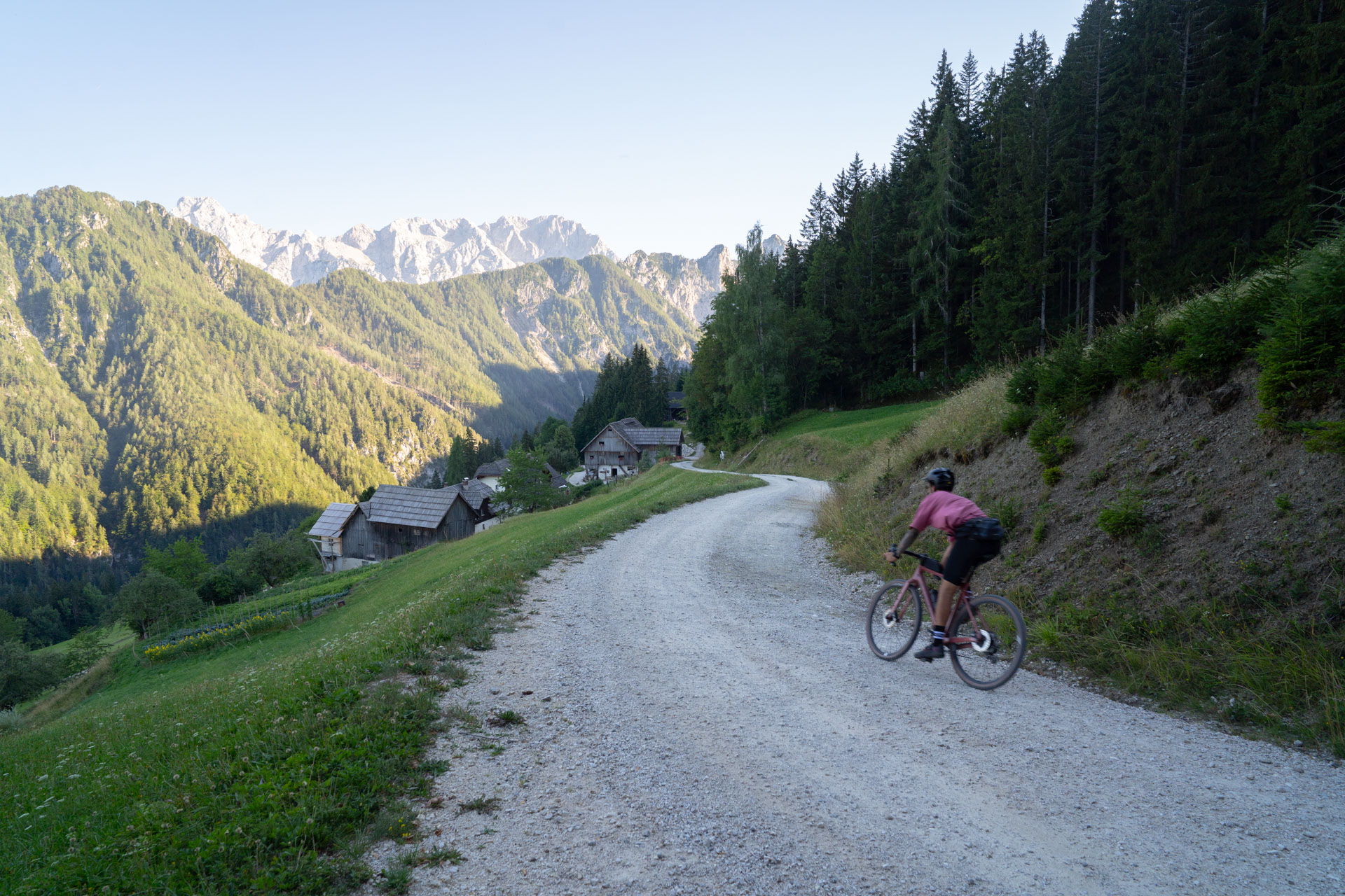
Podolševa is a high-mountain settlement with farms scattered across the sunny slopes above Solčava. The homesteads here are among the highest permanently inhabited in Slovenia, and the farms continue to work the land and raise livestock in this challenging mountain environment.
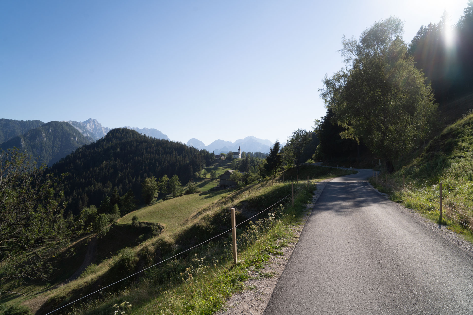
Acidic Water Spring
The gravel road continues from Podolševa. Along the way, you pass the Acidic Water Spring, a mineral spring rich in iron and carbon dioxide. The water has a distinctive taste, while reddish-brown mineral deposits cover the area around the spring.
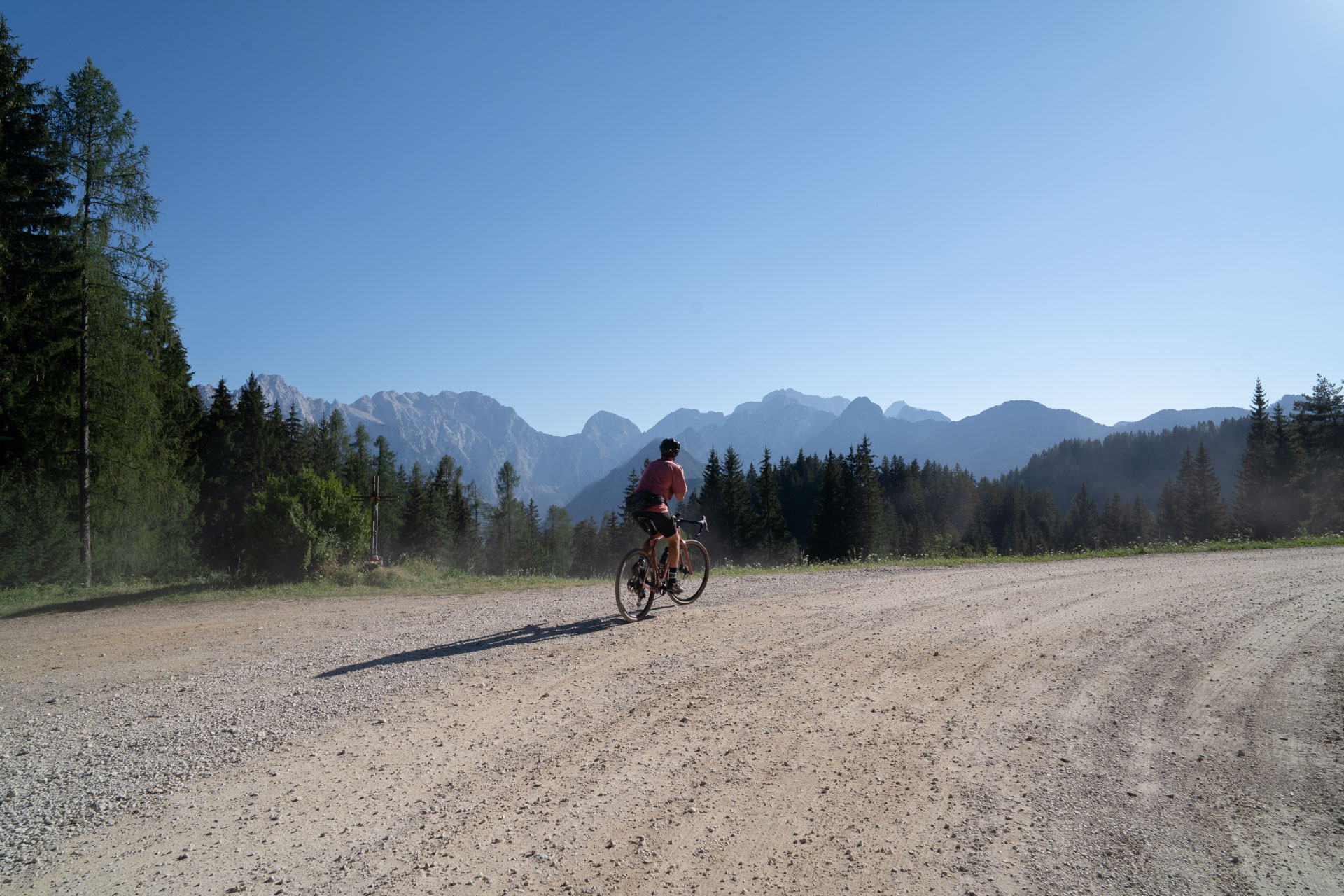
View from the Panoramic Road
From one of the highest points of the route, a wide view opens across the valleys and peaks of the Kamnik-Savinja Alps.
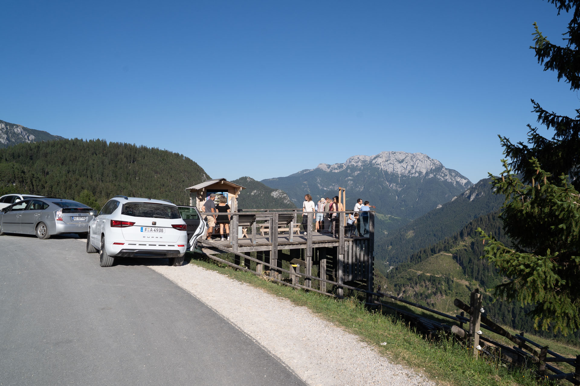
Matkov kot
Matkov kot is the smallest of the three glacial valleys in the Solčava region, with steep walls descending towards the valley floor. In its upper section, beneath the cliffs of Mrzla gora, the Matkov škaf snow basin forms every year. It can reach up to 30 metres in depth and is accessible by a marked mountain trail.
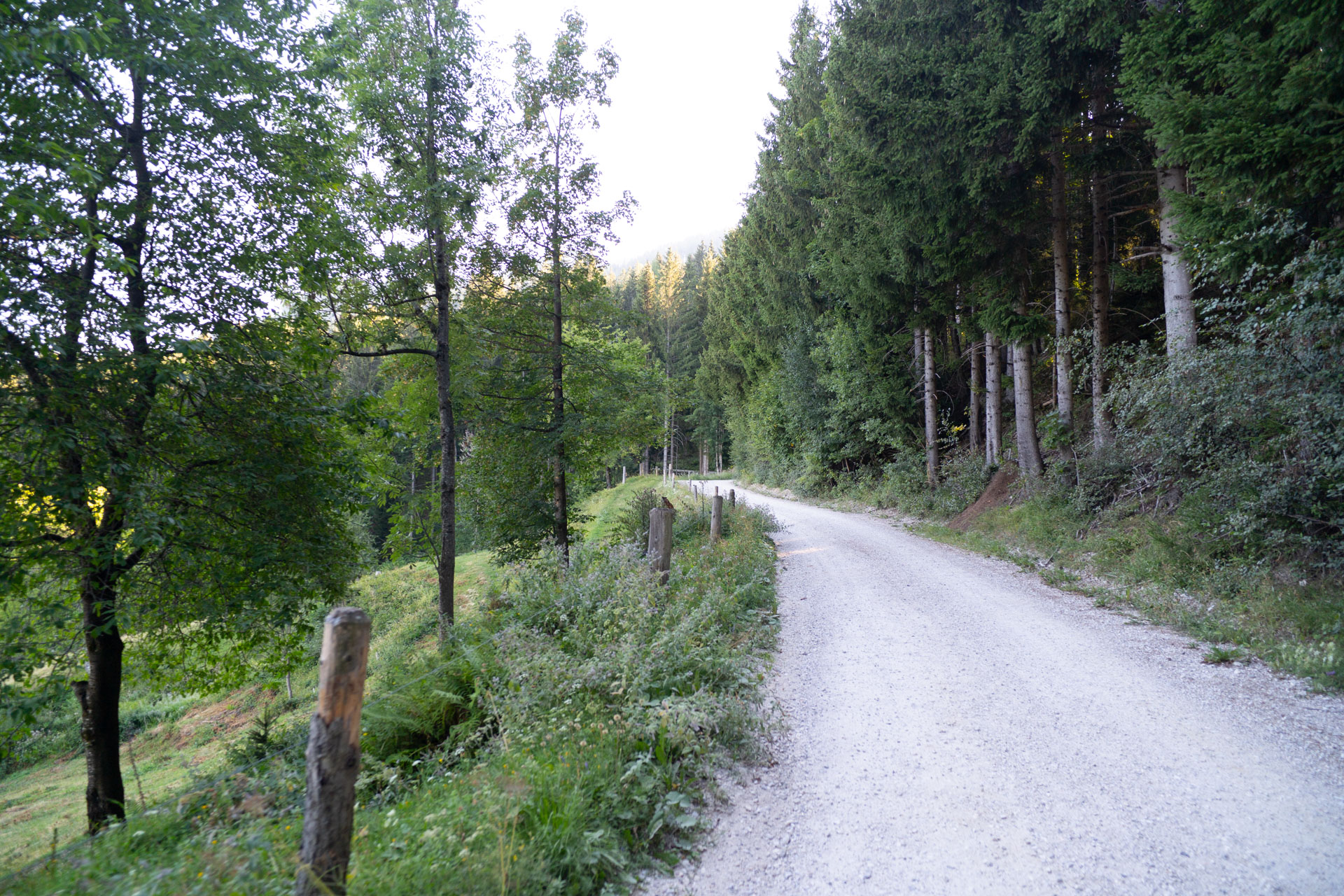
Descent into the Valley
The route first follows a gravel descent and then continues on asphalt towards the Logar Valley.
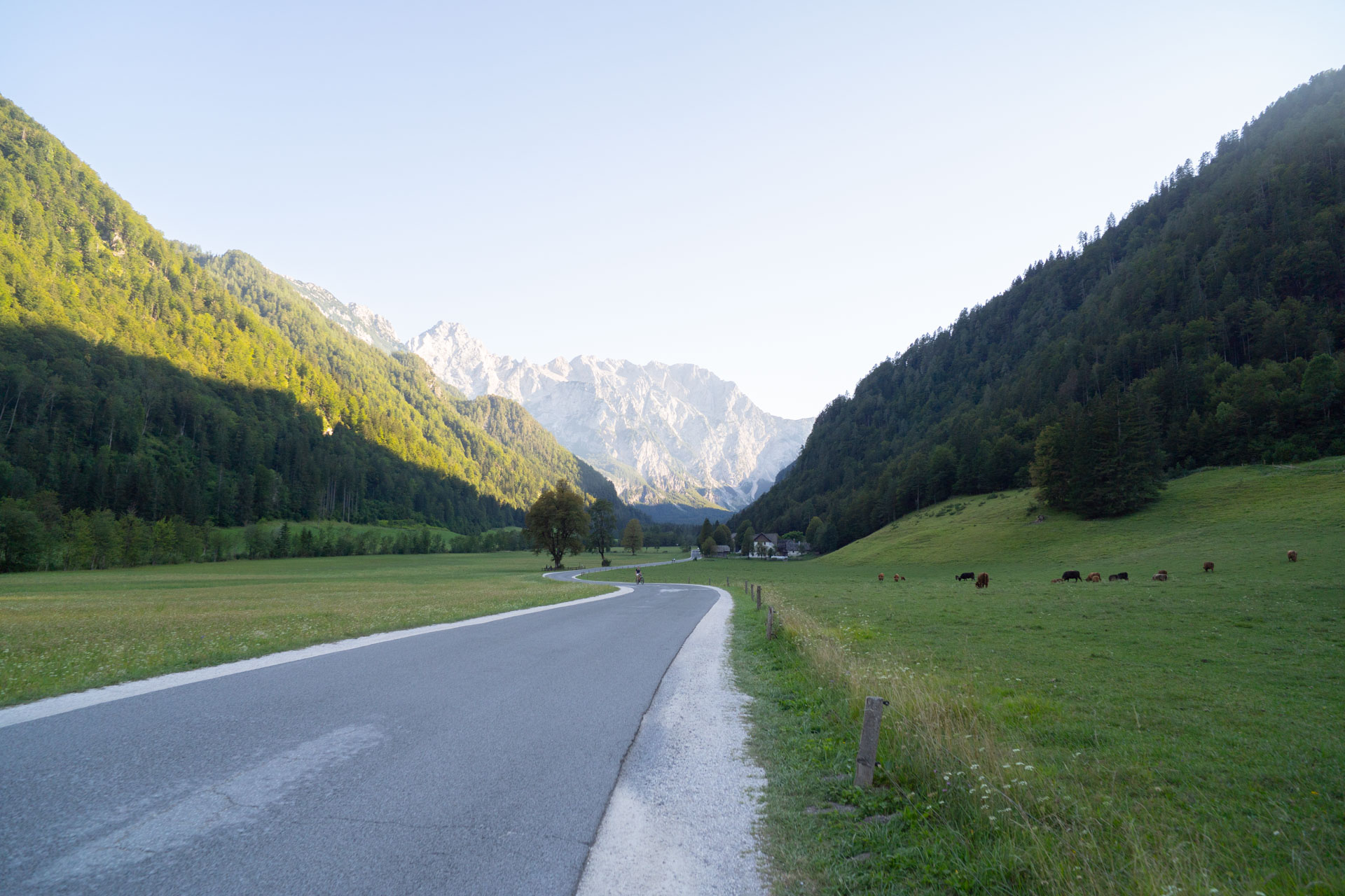
View towards the Logar Valley
In the Savinja Valley, we pass the turn-off for the Logar Valley, where spectacular views of the steep mountain peaks open up. It is a good place to stop or extend the ride into the valley itself.
Return to Solčava
We continue towards Solčava along the main road. The descent is gentle and steady.
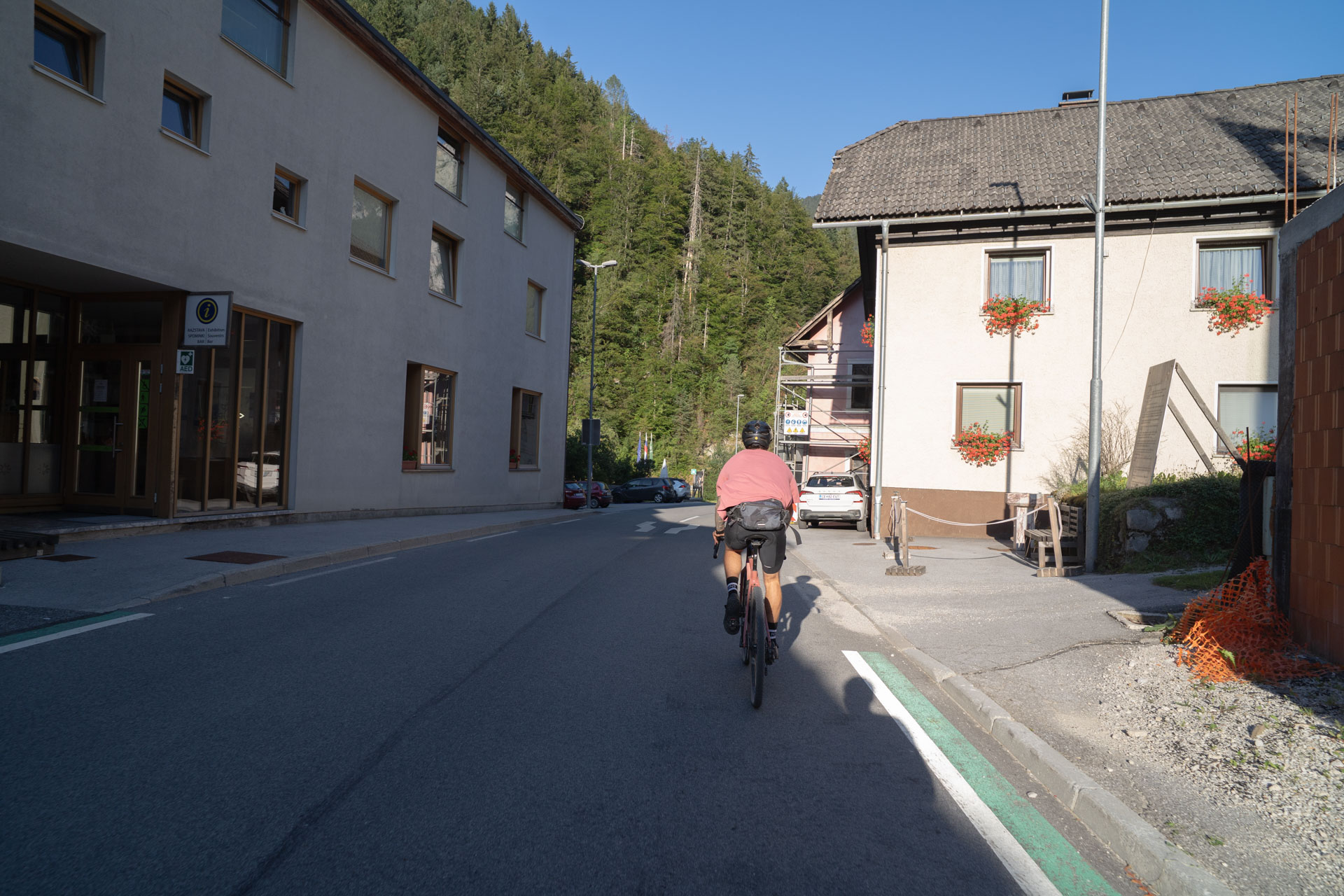
We finish the loop where we started. Behind us is one of the most scenic cycling routes in Slovenia.