
Home › All routes › Cerknica - Lake Cerknica
Cerknica - Lake Cerknica
Cycling route · Inner Carniola · Gravel
- Length
- 41 km
- Elevation gain
- 670 m
- Duration
- ~2,5 h
- Difficulty
- hard
- Region
- Inner Carniola
- Route type
- Gravel
- Surface
- asphalt 9 km · gravel 32 km
- Suitable for
- E-bike, MTB, Gravel, Trekking
The gravel loop around Lake Cerknica connects two very different sides of the Notranjska region. Below lies Slovenia’s largest intermittent lake, whose waters expand and recede throughout the year before disappearing underground through karst sinkholes. Above, the route climbs into the forests of the Javorniki Mountains, home to brown bears, wolves and lynx, reaching almost 1,000 metres in elevation. Most of the route follows wide, traffic-free gravel roads, but the long climb into the Javorniki makes this a demanding ride best suited to cyclists with good fitness.
Points along the route
Cerknica
0 km
Cerknica
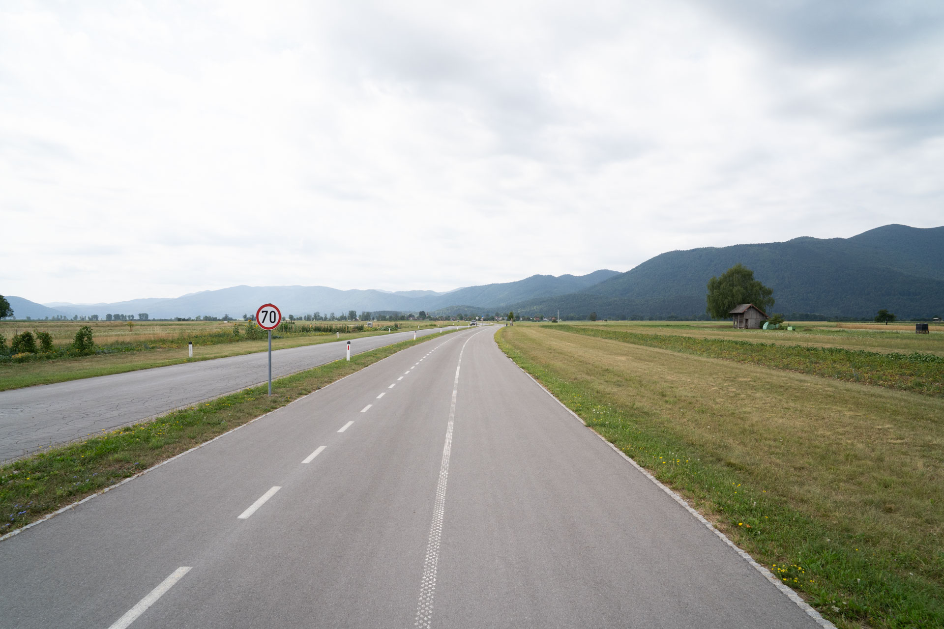
The tour starts in Cerknica, where we park near the church. The first few kilometres follow a paved cycle route towards Dolenje Jezero. Beyond the village, views open across the Cerknica Lake basin, and the route soon leaves the asphalt behind.
Dolenje Jezero
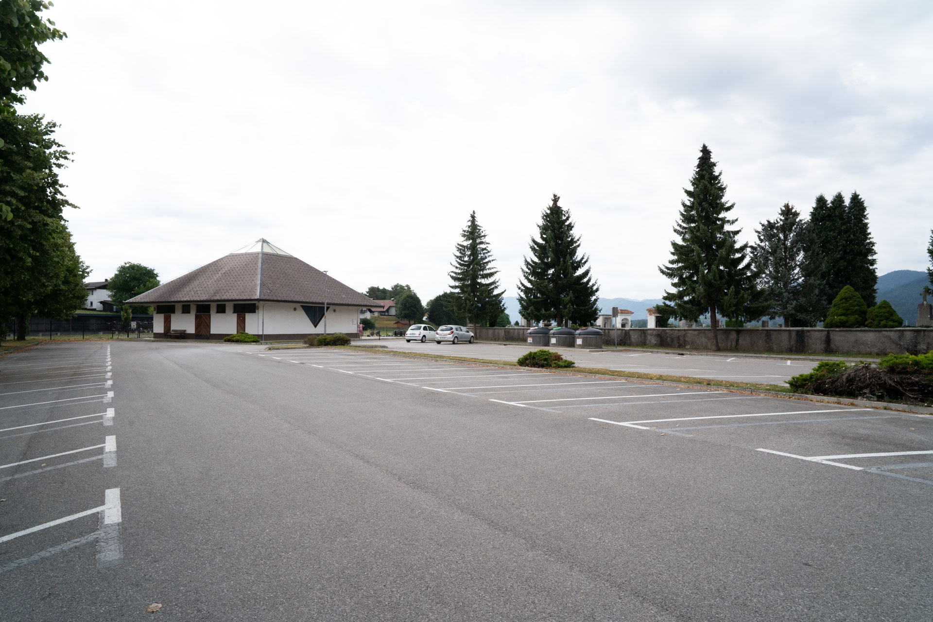
This village on the northern edge of the Cerknica Lake basin is one of the closest access points to the lake. It is also home to the Museum of Lake Cerknica, featuring a large moving model that demonstrates how the lake fills and drains.
Across Cerknica Lake
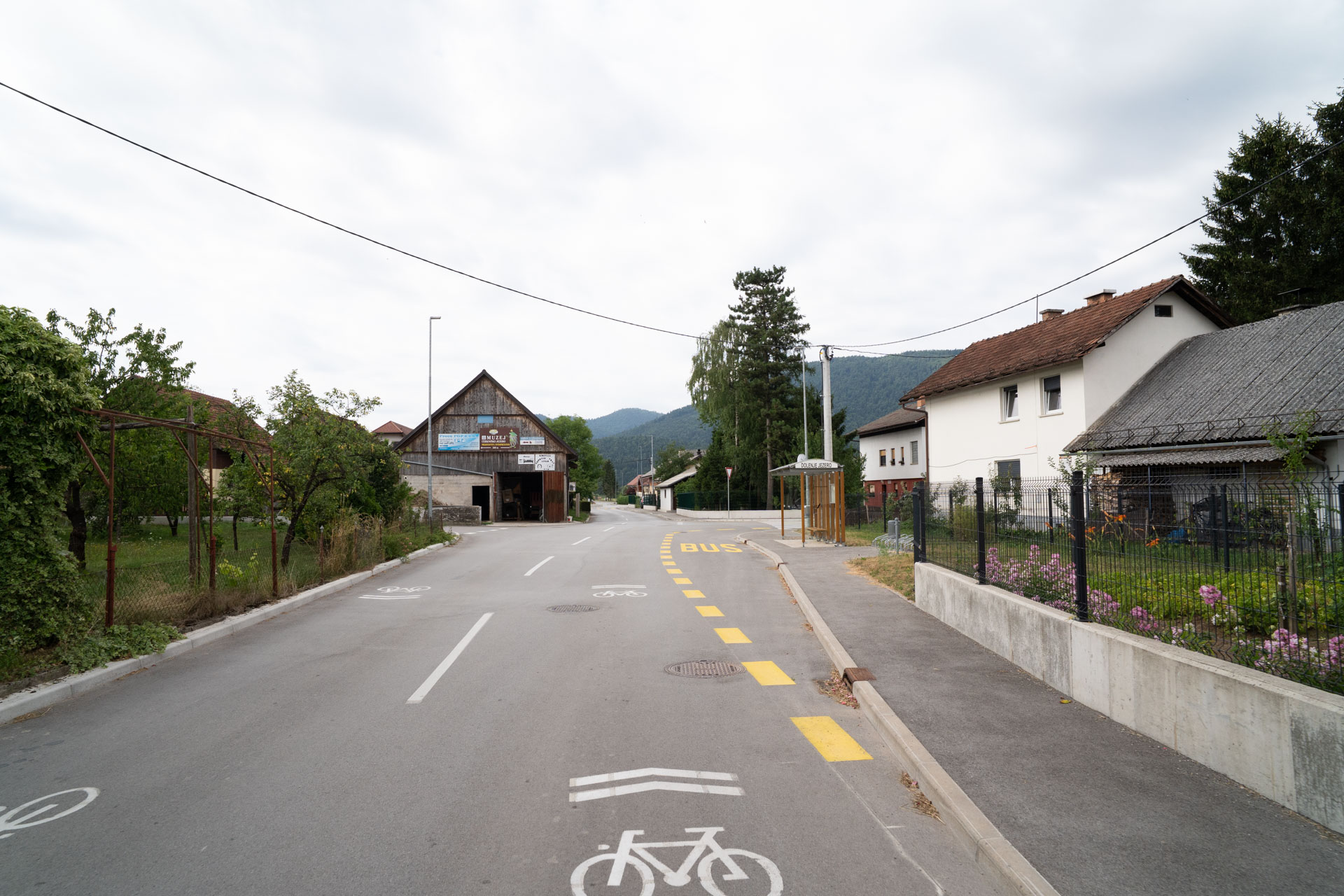
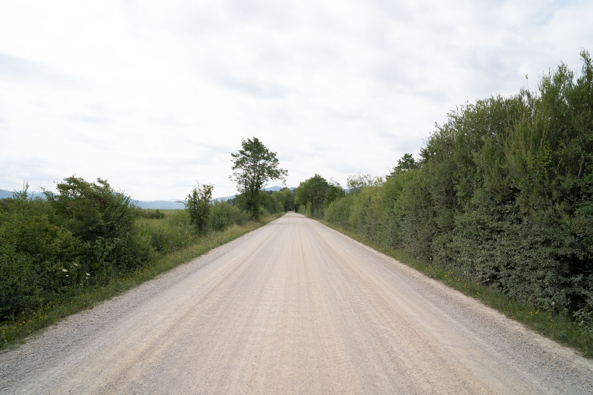
A gravel road crosses the northern part of the basin, passing sinkholes with names such as Rešeto and Vodonos, where the water disappears underground as the lake recedes. Some of this water re-emerges several kilometres away in Rakov Škocjan as the Rak River. Along the route, several birdwatching hides overlook the wetlands, which are among the most important bird habitats in Slovenia.
The climb
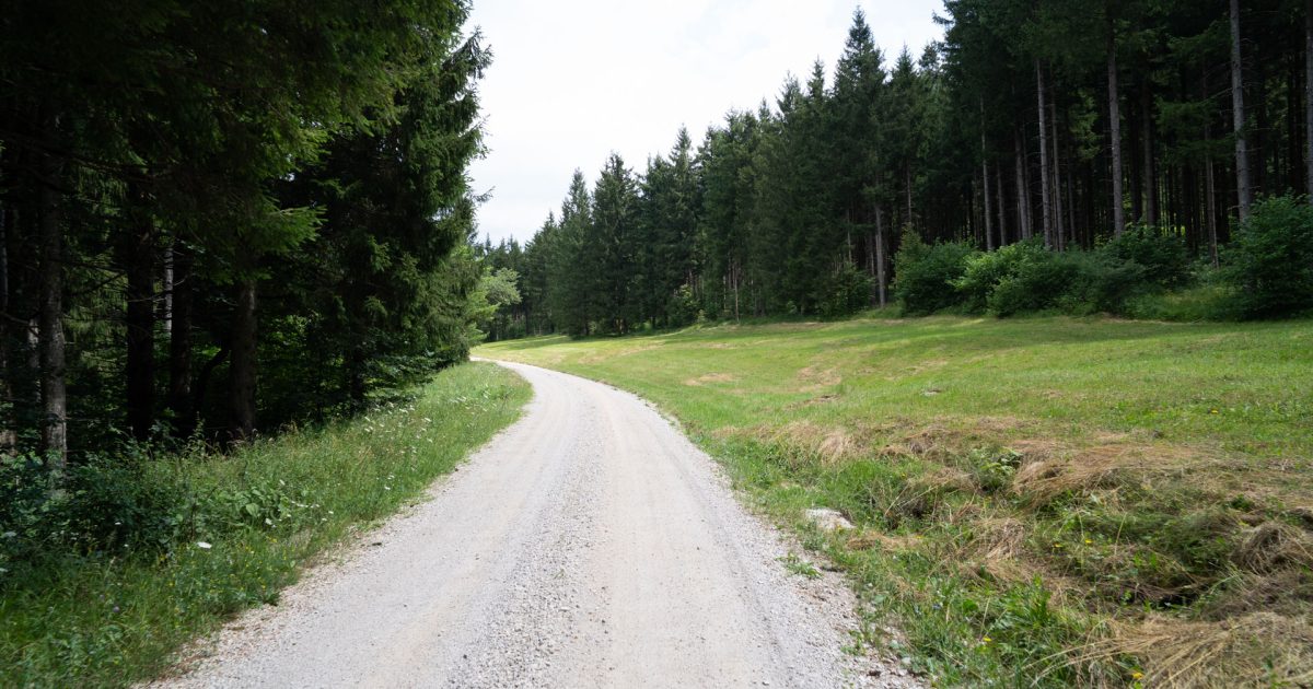
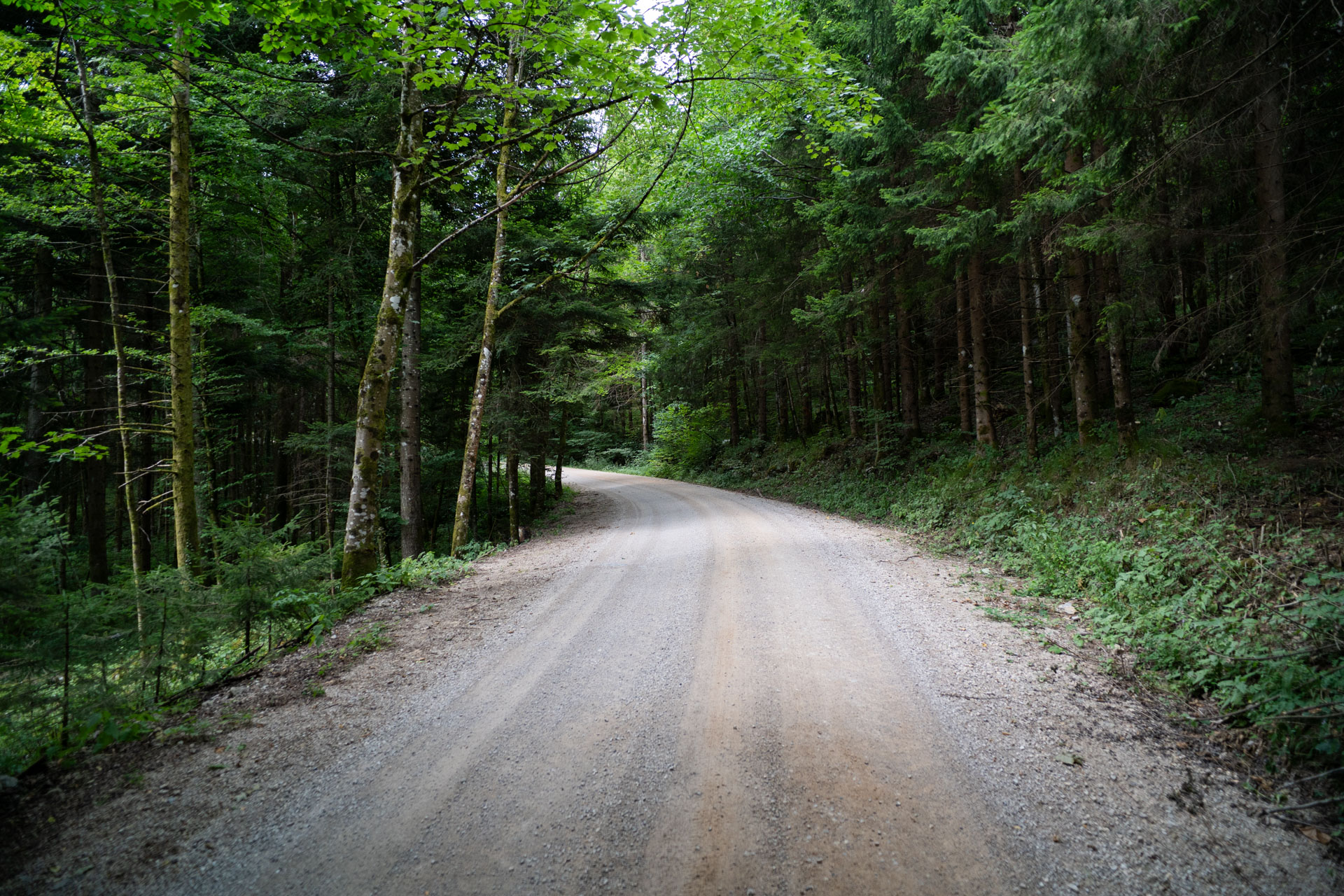
Beyond the lake, the route enters the forest and begins a steady climb through Godešev laz, Studenec and Pri Svislih. Most of the elevation gain comes on this section. The climb is long but follows a wide, well-ridable gravel road, with occasional openings in the trees revealing views back towards the lake basin.
The Javornik Forests
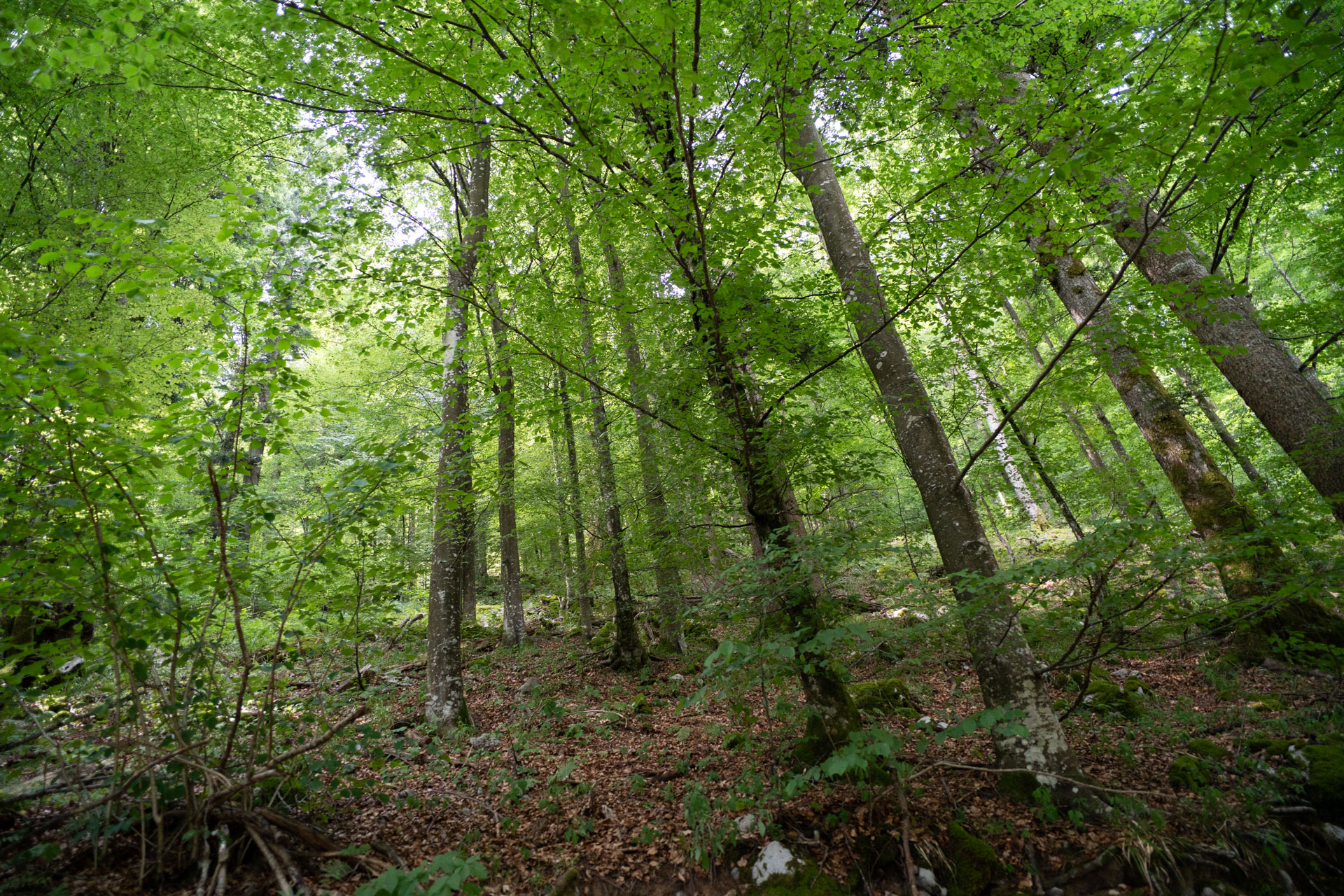
The highest section of the route crosses the Javornik Plateau, through forests beneath the peaks of Debela gora, Jeplaški vrh and Kalič. This is one of the largest continuous forest areas in Slovenia and an important habitat for large carnivores, including brown bears, wolves and lynx. There is very little traffic here, so it is a good idea to make your presence known by talking or using your bike bell.
Gorenje Jezero
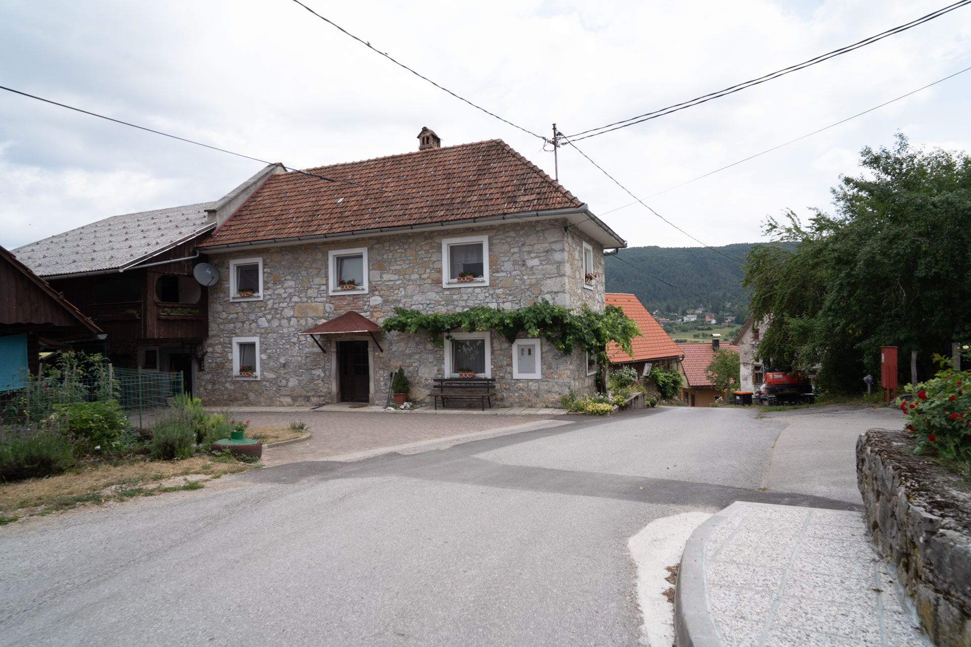
After the descent, the route returns to the southern edge of the Cerknica Lake basin. Around Laze pri Gorenjem Jezeru and Gorenje Jezero, the forest gives way to an open karst landscape, with views stretching back towards the lake.
Villages around the lake
Through Lipsenj, Žerovnica and Grahovo, the route follows the eastern edge of the lake. For centuries, these villages have adapted to the lake's changing rhythm, with haymaking and grazing on the dry lakebed and fishing when the waters rise. Today, they are connected by a quiet gravel road winding between meadows and hedgerows.
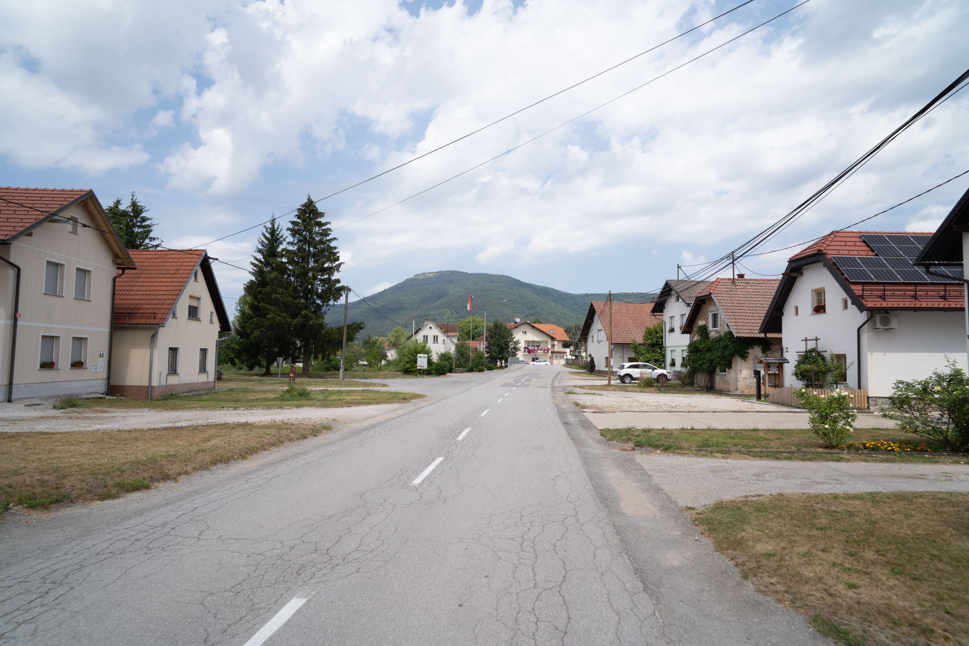
Grahovo
In Grahovo, the route enters another gravel section. The final kilometres pass Martinjak before bringing us back to Cerknica.
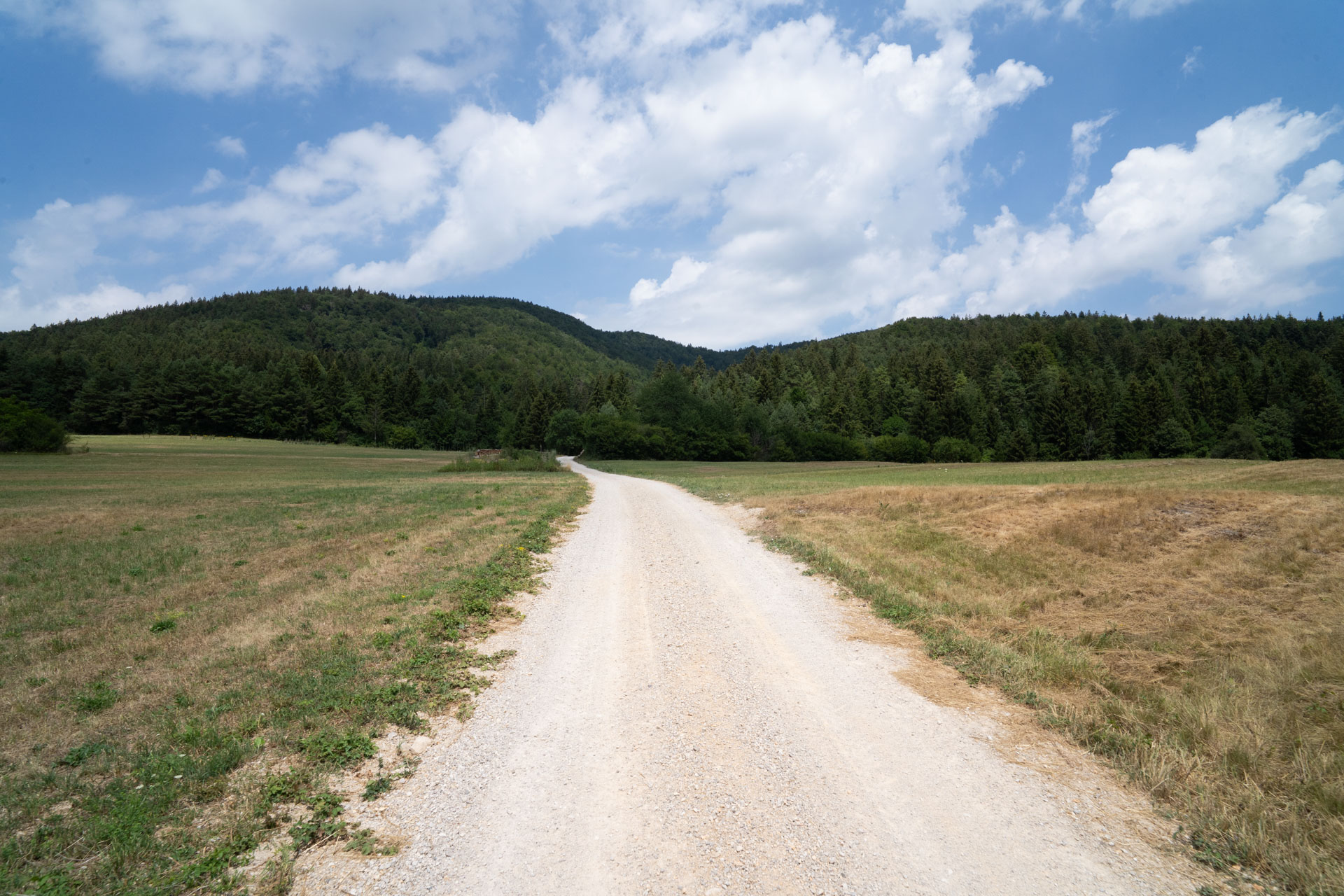
The water that disappears beneath the Cerknica Lake basin and the forests rising above it are part of the same karst landscape. This circular route connects the two in less than three hours of riding, taking you from the floor of the disappearing lake to the quiet forests of the Javornik Plateau and back to the starting point, where the lake returns and disappears again each year.