
Home › All routes › Rakov Škocjan - Lake Cerknica
Rakov Škocjan - Lake Cerknica
Cycling route · Inner Carniola · Gravel, Trekking
- Length
- 28.5 km
- Elevation gain
- 300 m
- Duration
- ~2 h
- Difficulty
- moderate
- Region
- Inner Carniola
- Route type
- Gravel, Trekking
- Surface
- asphalt 2 km · gravel 26.5 km
- Suitable for
- E-bike, MTB, Gravel, Trekking
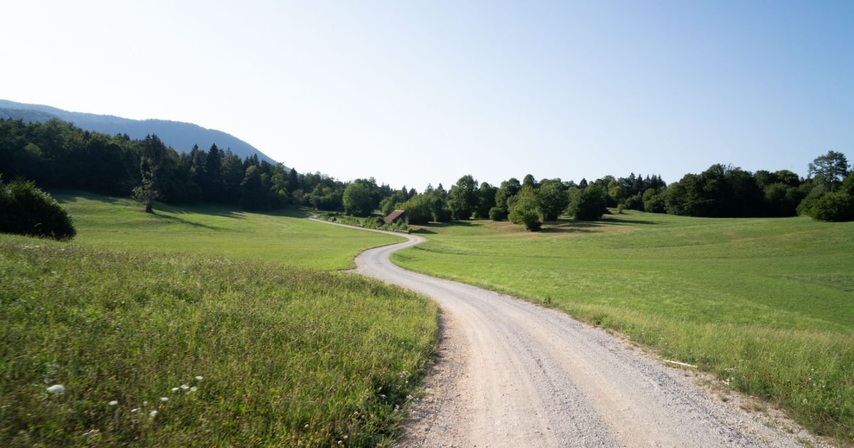
This circular gravel route connects two of the most distinctive karst areas of the Notranjska region. In Rakov Škocjan, it passes natural bridges, caves and the Rak River before continuing along the edge of Lake Cerknica, an intermittent lake and habitat for numerous animal species. Most of the route follows wide forest gravel roads with little traffic and gentle climbs, making it ideal for a relaxed exploration of the area’s natural surroundings.
Points along the route
Rakov Škocjan
0 km
Starting Point
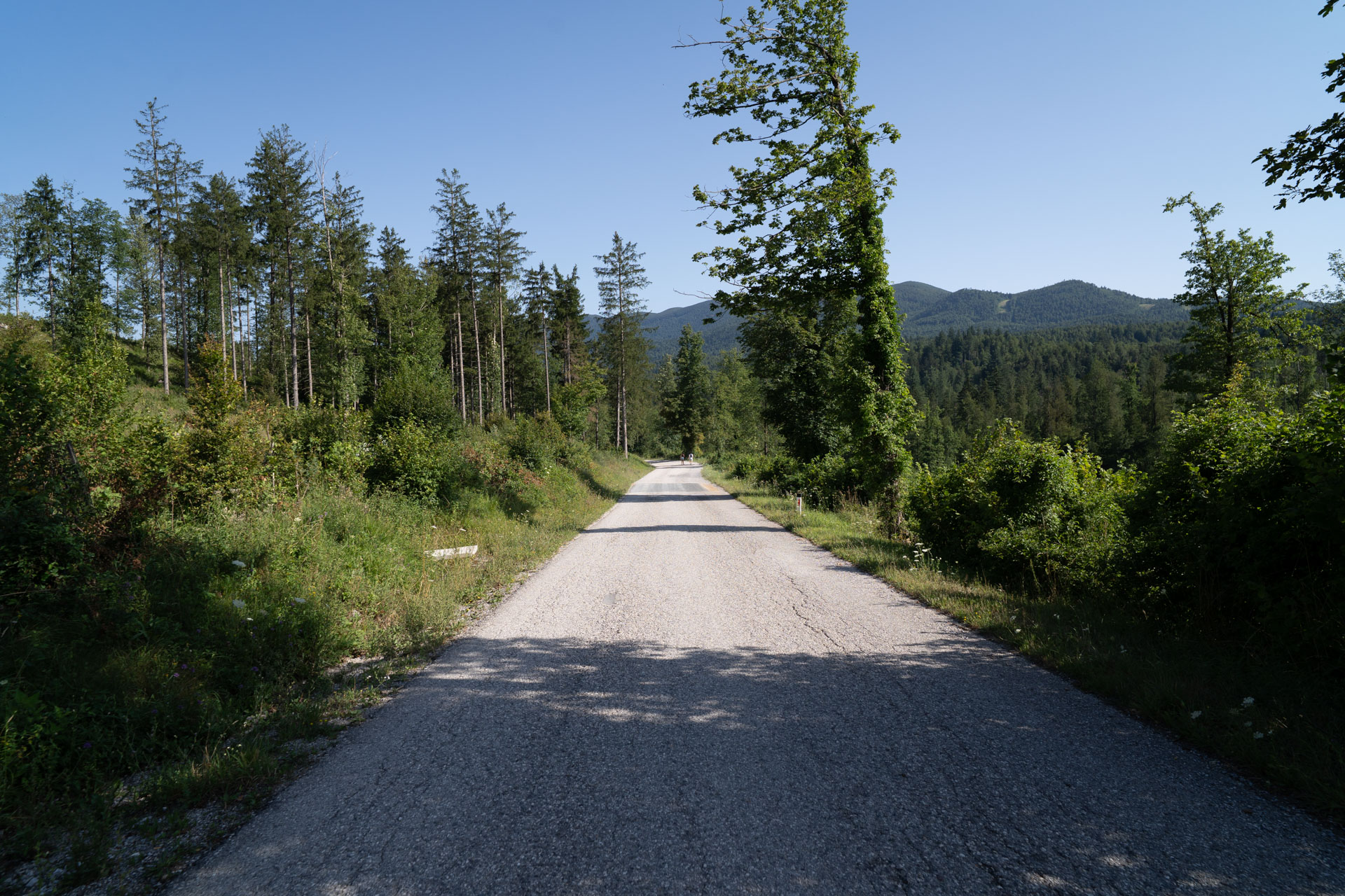
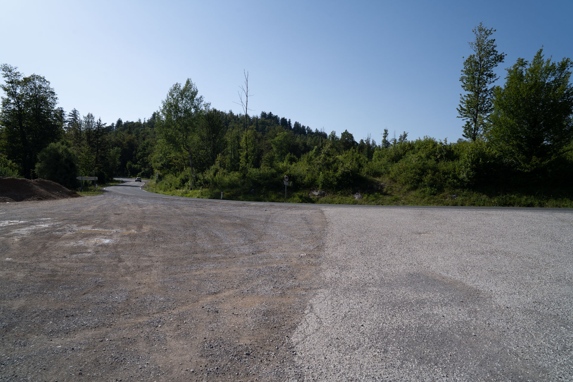
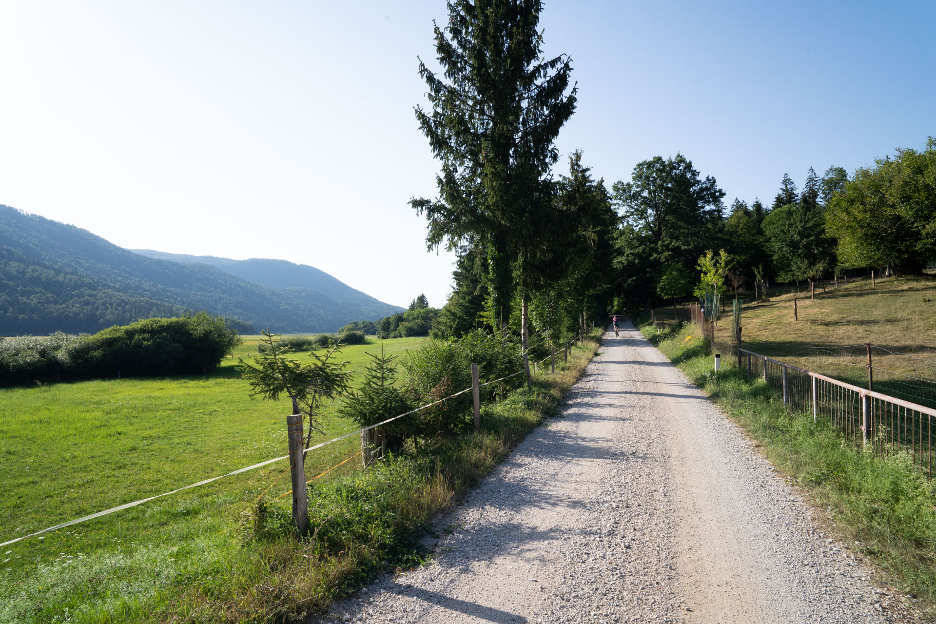
The tour starts at a gravel parking area next to the motorway. After a short descent, the asphalt soon gives way to a wide gravel road known as Medvedova dežela (“Bear Country”), which leads through the central part of the landscape park. Forests, karst terrain and very little traffic accompany us for most of the route.
Rakov Škocjan
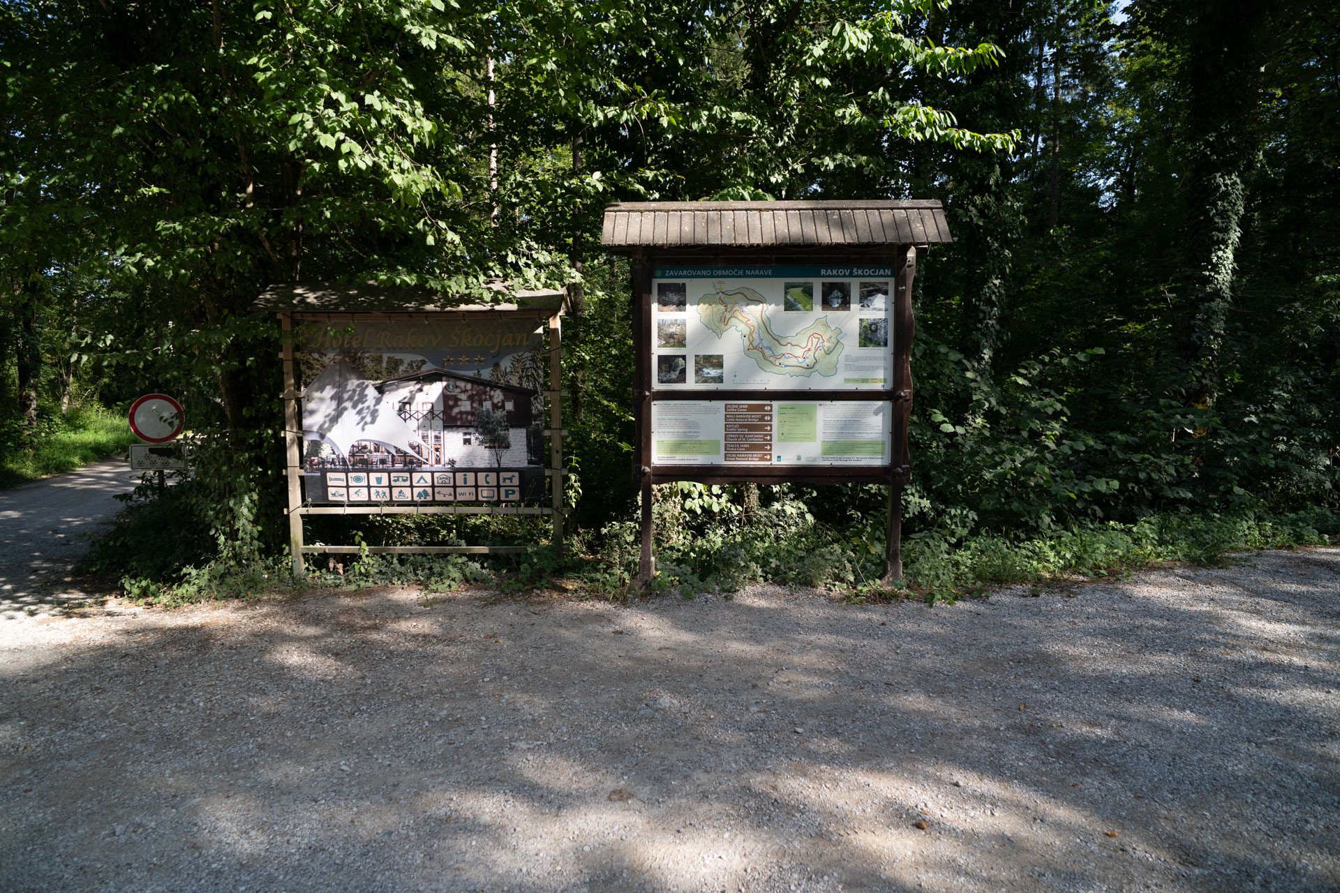
Rakov Škocjan is protected as a landscape park and is considered one of Slovenia’s most important karst valleys. The route follows the valley floor, passing caves, sinkholes and the Small Natural Bridge.
Great Natural Bridge
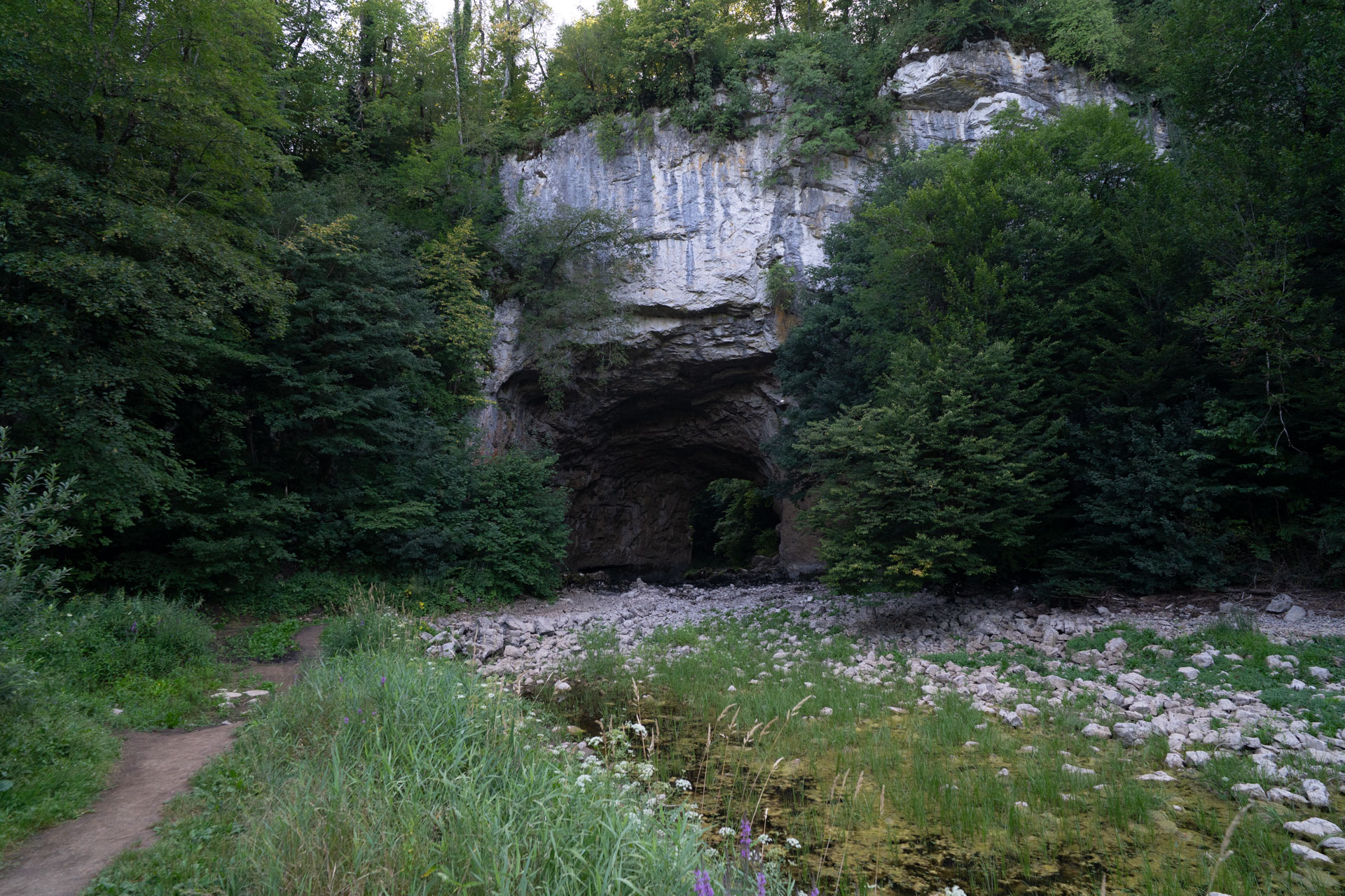
The Great Natural Bridge is about a three-minute walk from the route. The stone arch is a remnant of the ceiling of a former karst cave. Beneath it flows the Rak River, which rises in the Zelške jame caves and disappears underground in Tkalca Cave at the eastern end of the valley. We continue along the forest gravel road.
Lake Cerknica
10 km
Lake Cerknica
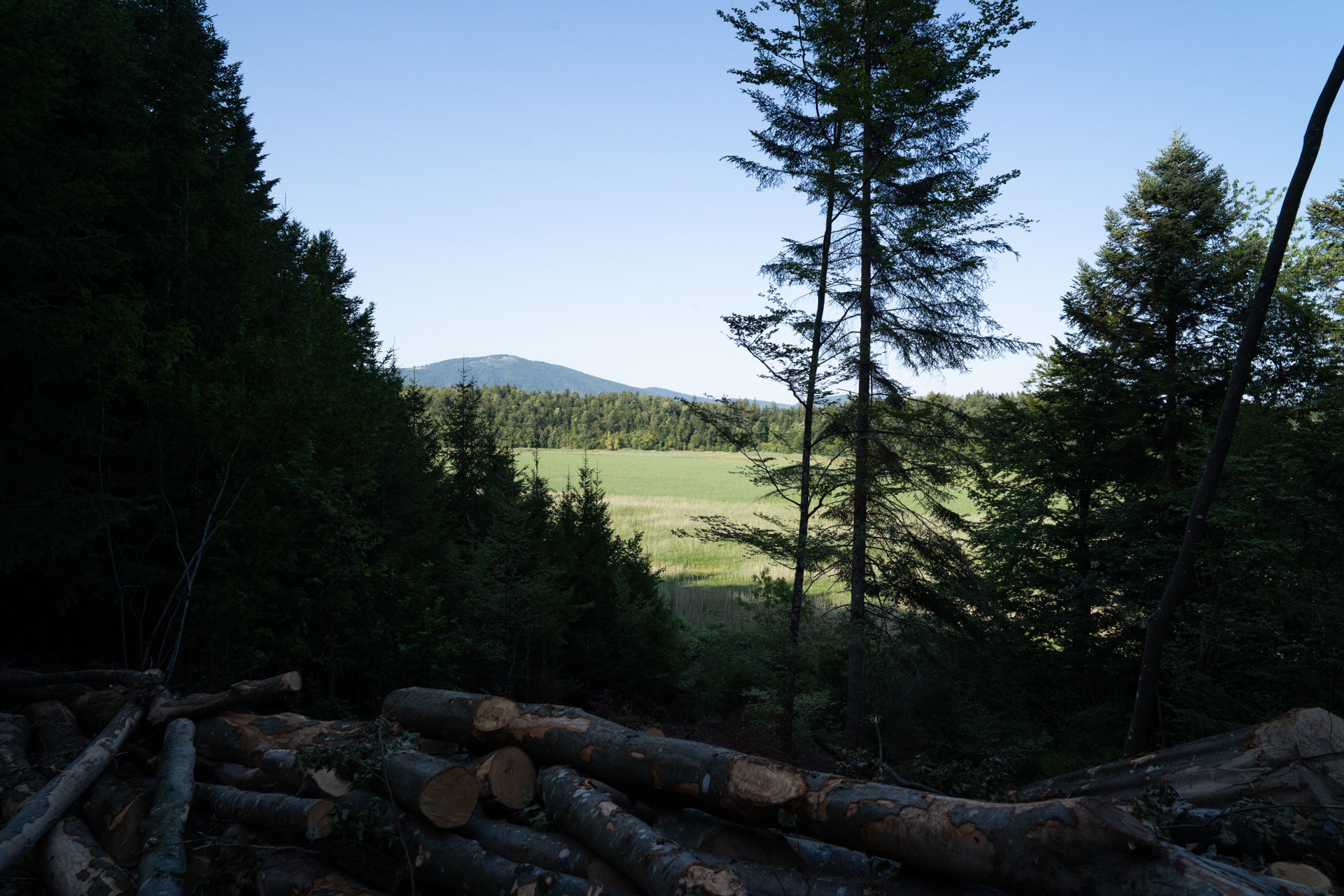
Beyond Rakov Škocjan, the route opens out towards Lake Cerknica. It is the largest intermittent lake in Slovenia, and its appearance constantly changes throughout the year between open water, meadows and pastures. When we visited for photography, the area was covered by pastures.
Otok Village
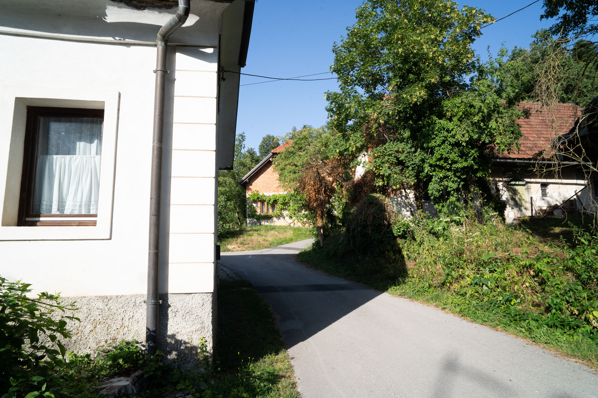
The route passes through the village of Otok, which stands on a slight rise at the edge of the lake basin. When the water level is high, the village is surrounded by water, which is also the origin of its name, meaning “island”.
View of the Lake Basin
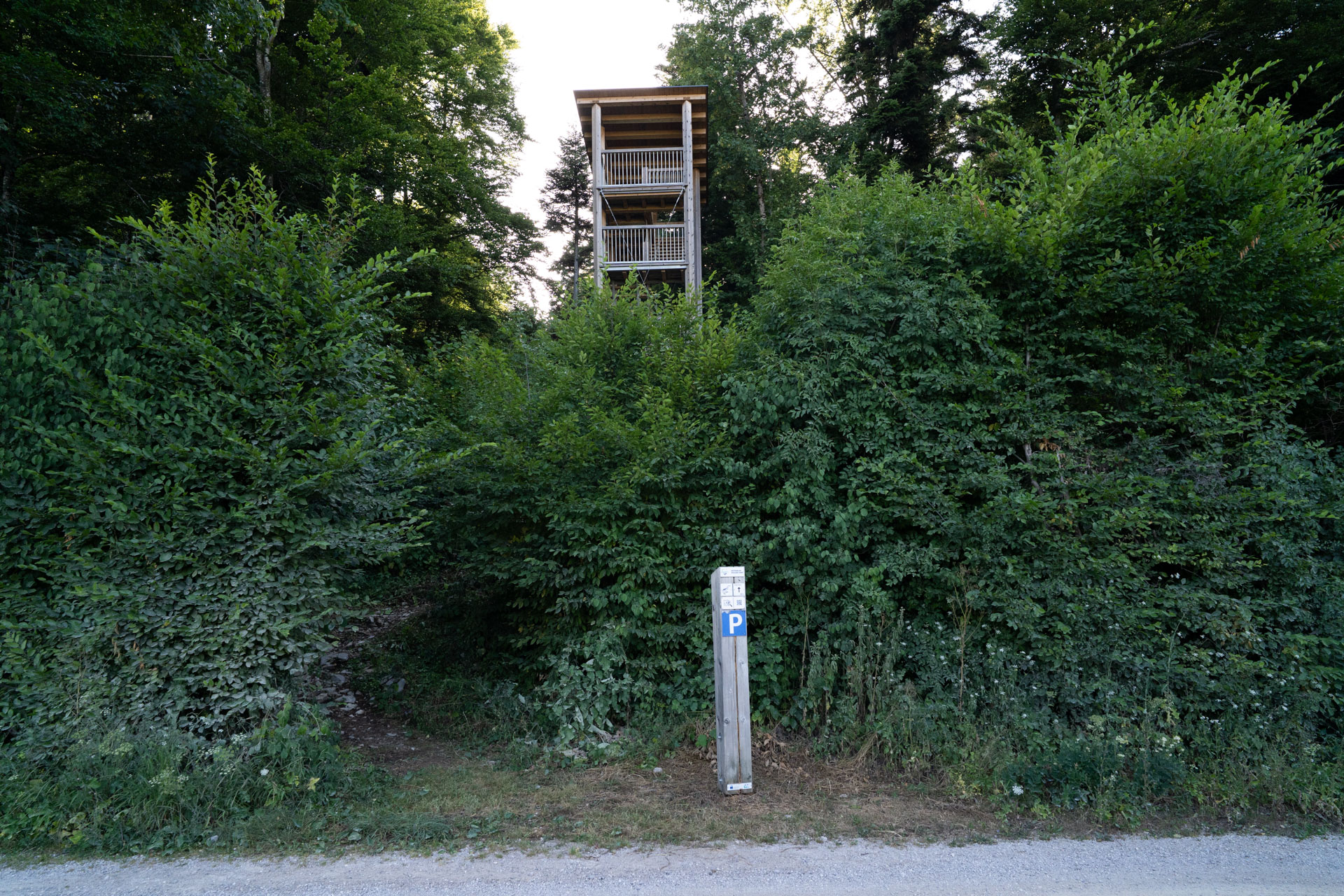
Otočec Observation Tower stands on the edge of Lake Cerknica and offers views over the lake basin and surrounding karst landscape. The area is an important wetland where the combination of water and meadows provides a habitat for numerous bird species.
Return Through the Forests
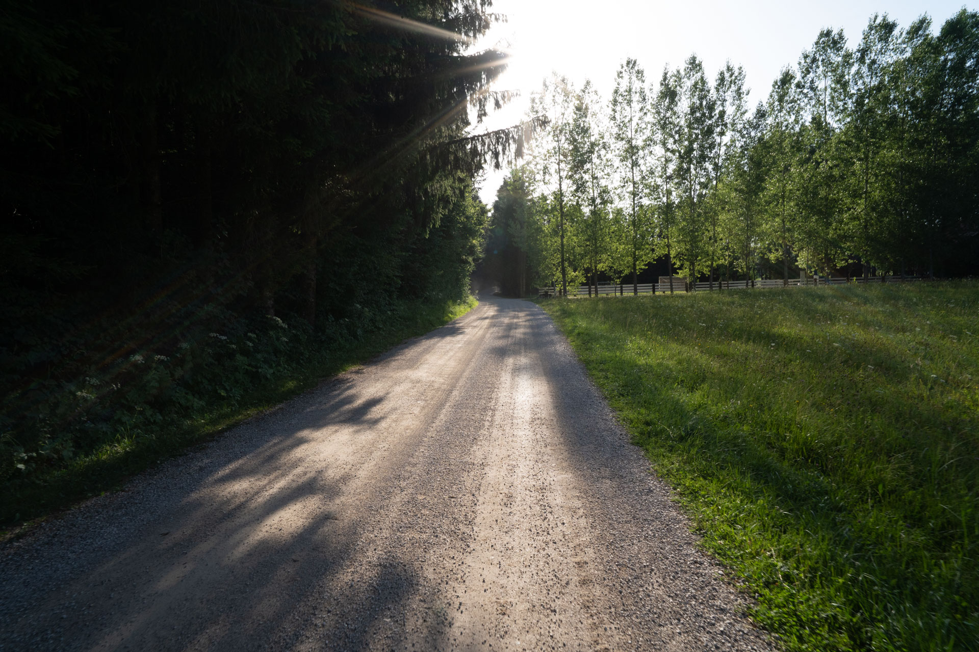
The final section of the route follows forest gravel roads back towards the starting point. The surrounding forests are home to brown bears, so while cycling it is advisable to make our presence known by talking or using a bicycle bell.
Rakov Škocjan and Lake Cerknica are part of a karst system that continues to be shaped by water. This circular route connects natural bridges, sinkholes, forests and an intermittent lake, bringing together some of the most characteristic features of Slovenia’s karst landscape.