
Home › All routes › Podutik - Toško Čelo - Sv. Jakob
Podutik - Toško Čelo - Sv. Jakob
Cycling route · Central Slovenia · Gravel, Trekking
- Length
- 33 km
- Elevation gain
- 590 m
- Duration
- ~2,5 h
- Difficulty
- hard
- Region
- Central Slovenia
- Route type
- Gravel, Trekking
- Surface
- asphalt 28 km · gravel 5 km
- Suitable for
- E-bike, MTB, Gravel, Trekking
The route offers a wonderful combination of scenic views, descents and challenging climbs, appealing to both recreational cyclists and those with a little more fitness. It is an ideal way to explore the picturesque Polhov Gradec Hills, with views of the Alps and the Ljubljana Basin.
Points along the route
Podutik
0 km
Podutik
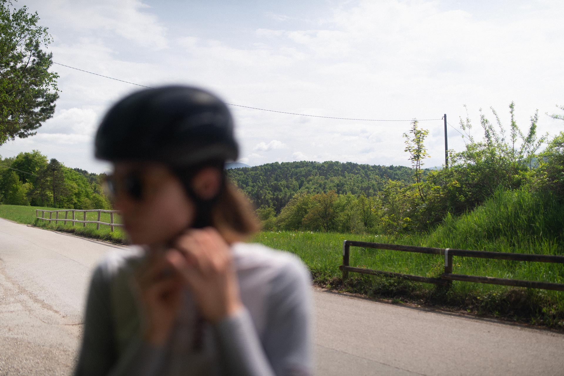
The tour starts on the outskirts of Podutik, where a few parking spaces are available.
Toško Čelo
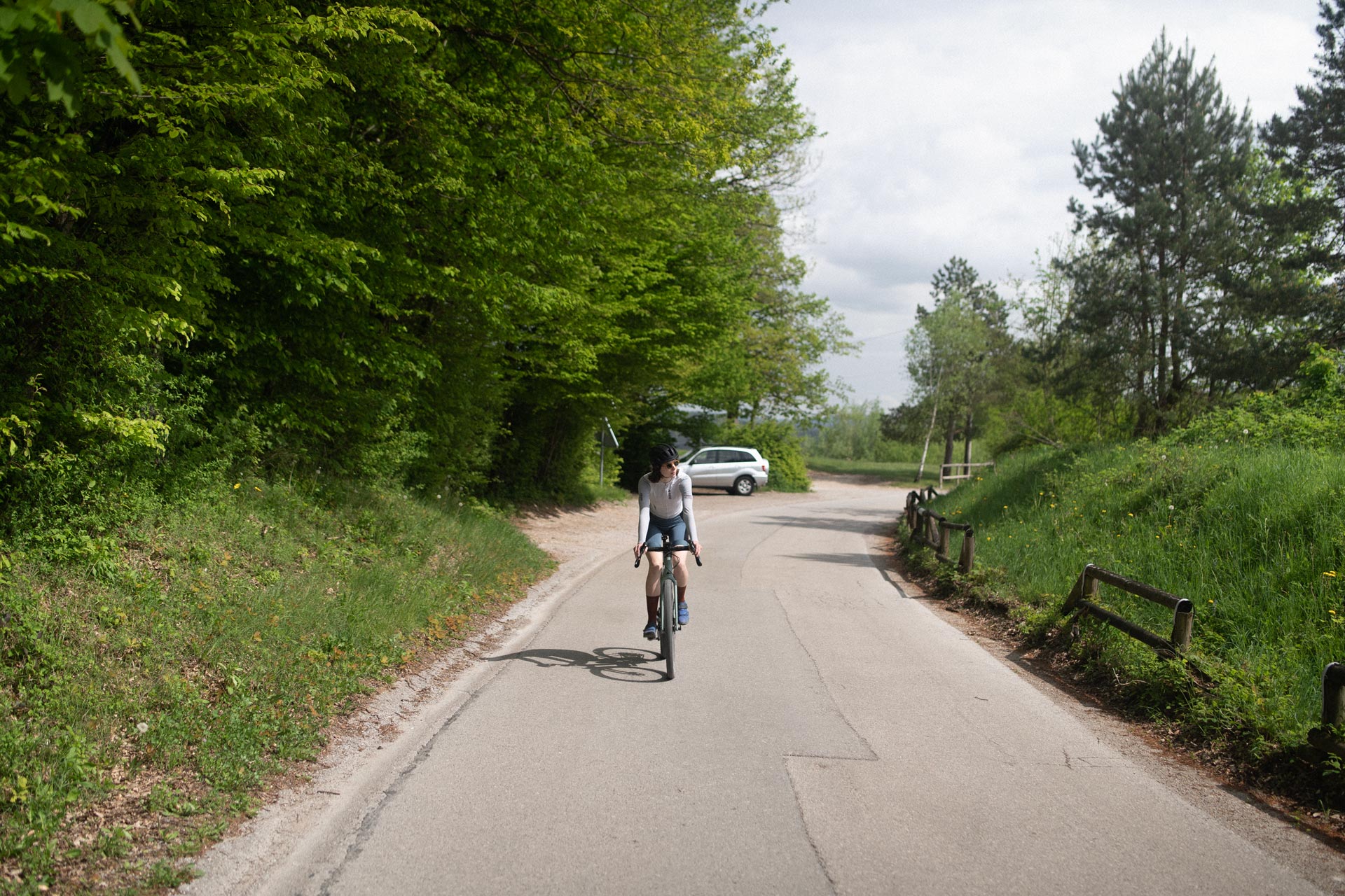
We follow an asphalt road uphill to Toško Čelo (552 m), a historic settlement that was burned down during the Second World War and later rebuilt.

Gravel section
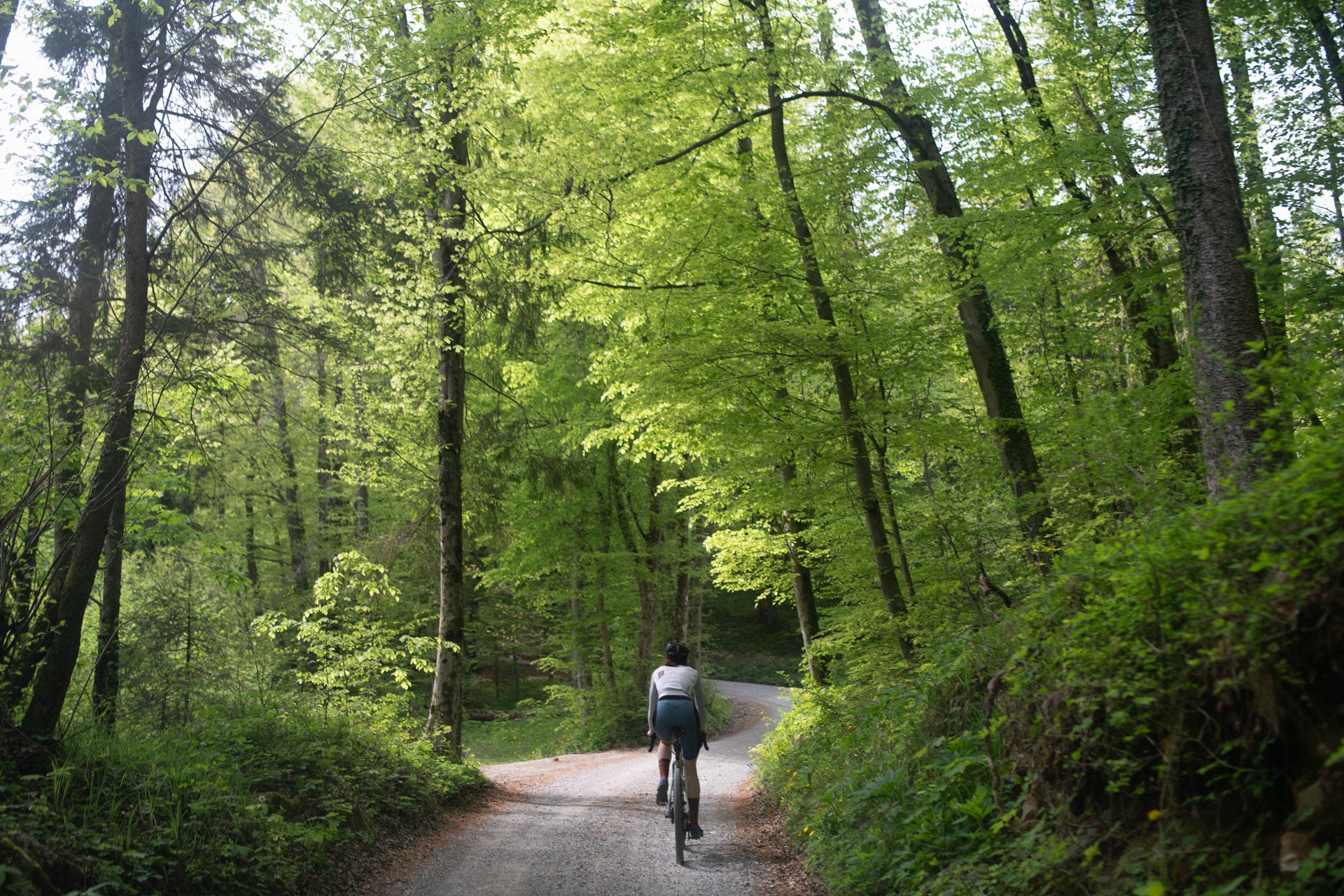
The route continues along a gravel road through the forests of the Polhov Gradec Hills, part of Slovenia’s pre-Alpine landscape.
Katarina
6 km
Topol
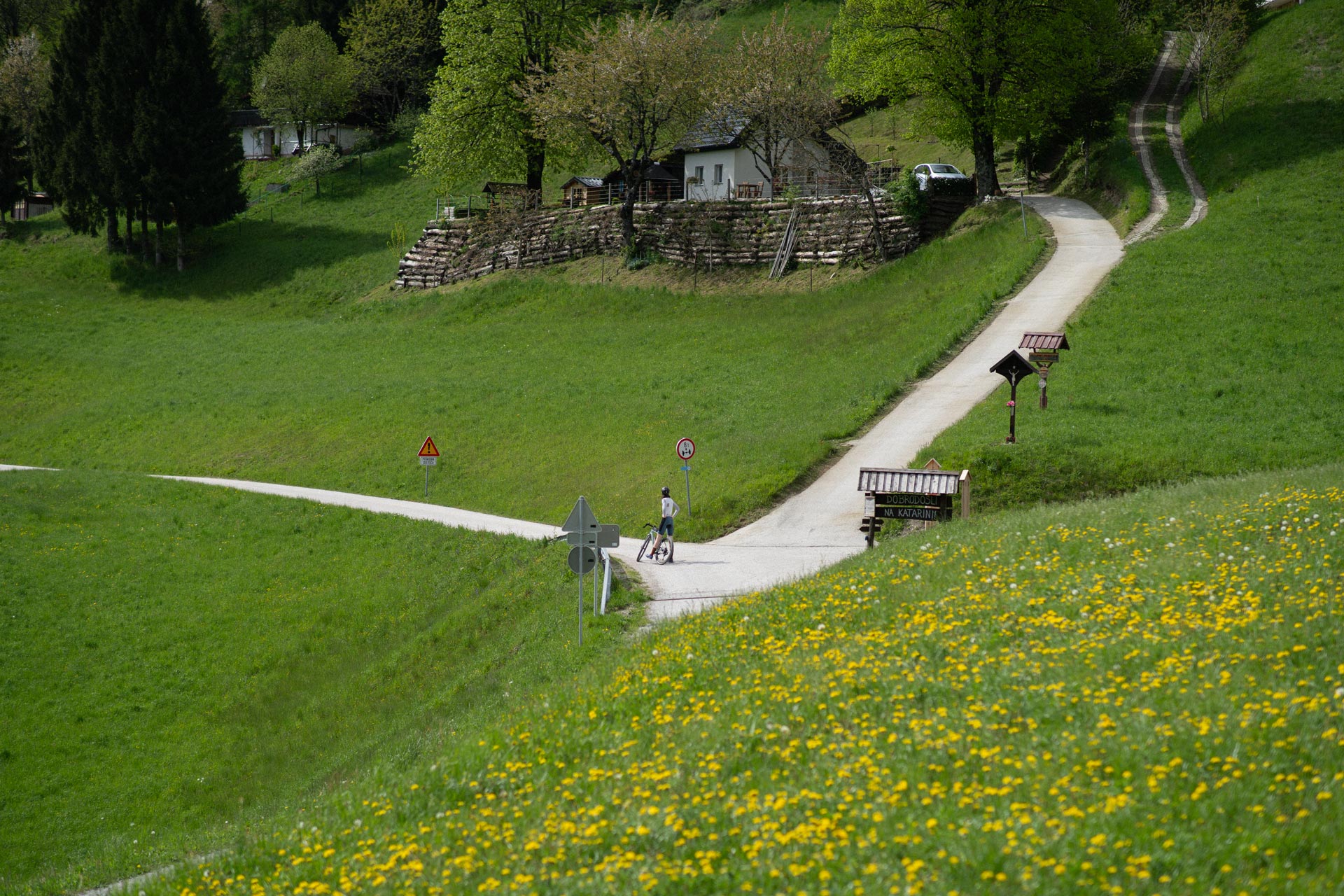
We reach the village of Topol, also known as Katarina, at an elevation of around 680 m. This is a good place to take a break and enjoy some refreshments at the local inns, such as Gostilna Dobnikar or Gostilna Pr’ Jur.
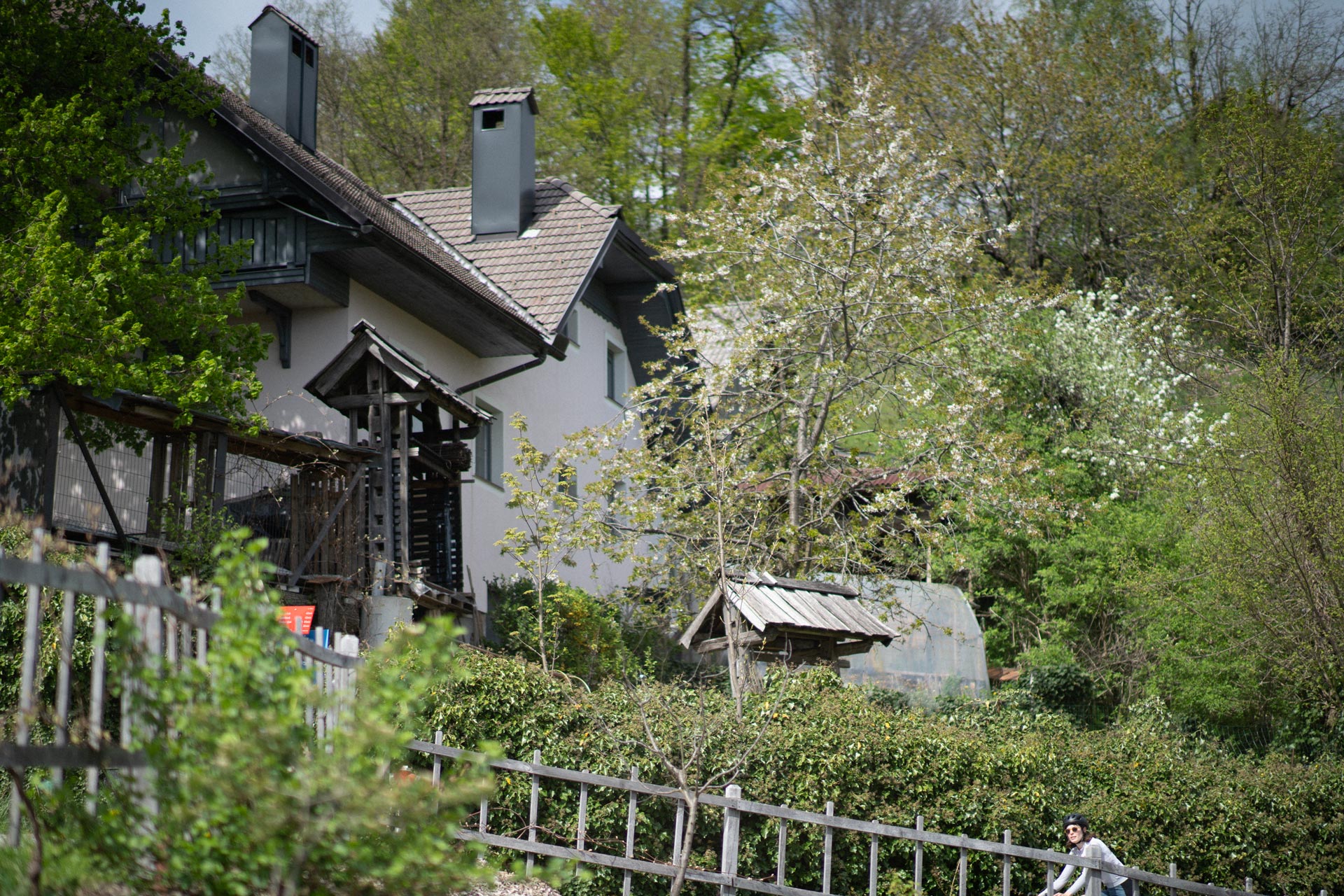
Ascent to St. James (Sv. Jakob)
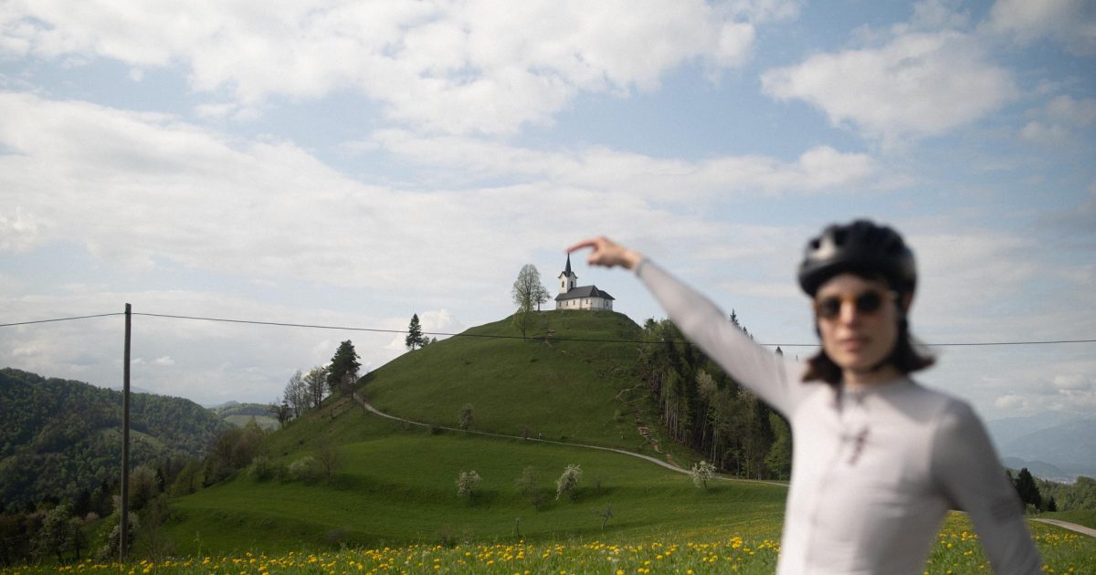
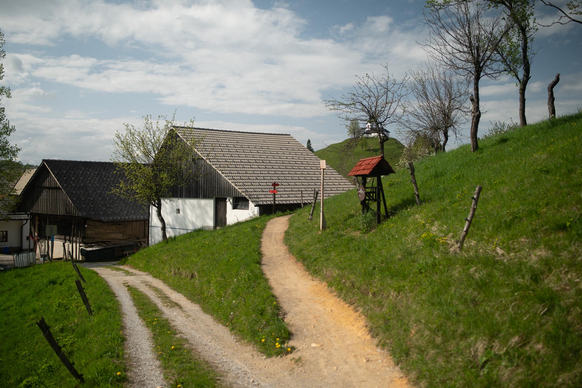
The route then climbs towards the Church of St. James (806 m), built in the 16th century. On a clear day, the summit offers sweeping views across the Sora Plain and Ljubljana Basin, with the Karawanks, Julian Alps and Mount Triglav visible in the distance.
Return
After taking in the views, we descend through Trnovec along the Ločnica valley towards the Sora River. The Sora, a right-bank tributary of the Sava, is formed by the confluence of the Selca Sora and Poljane Sora.
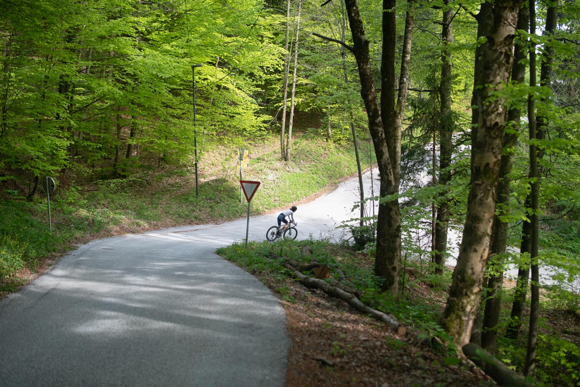
The final section follows quieter local roads through small settlements towards Šentvid and back to the starting point in Podutik.